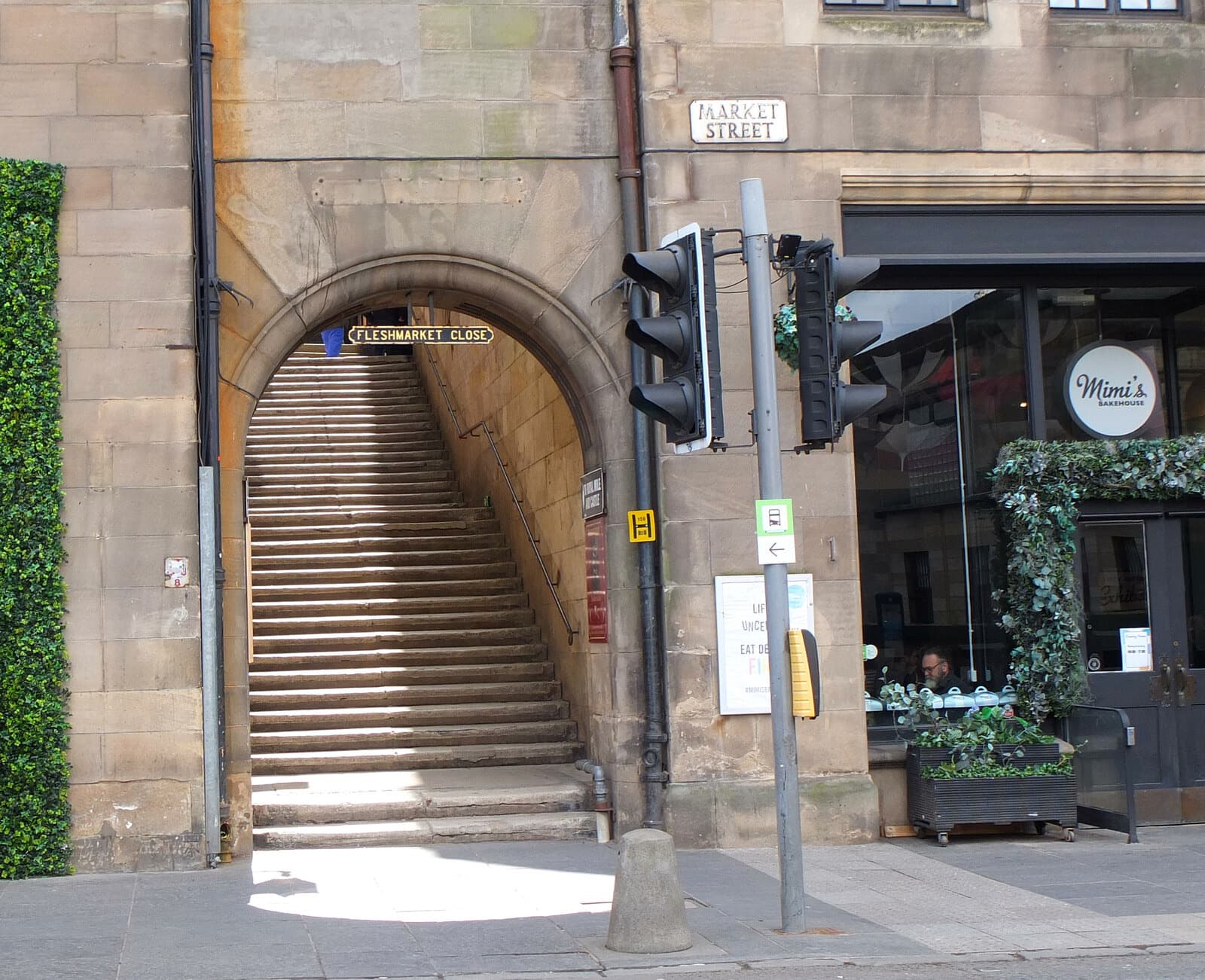
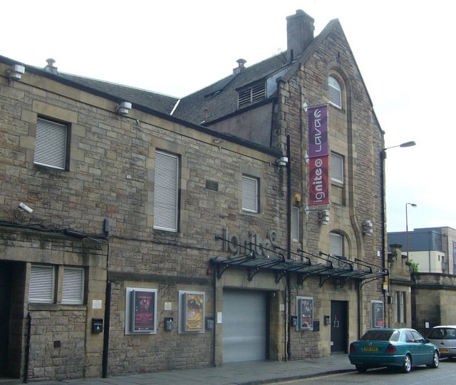
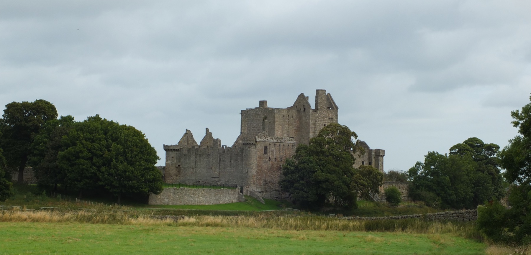
Three ways in for film, television and music, with the places behind them below.
Movies
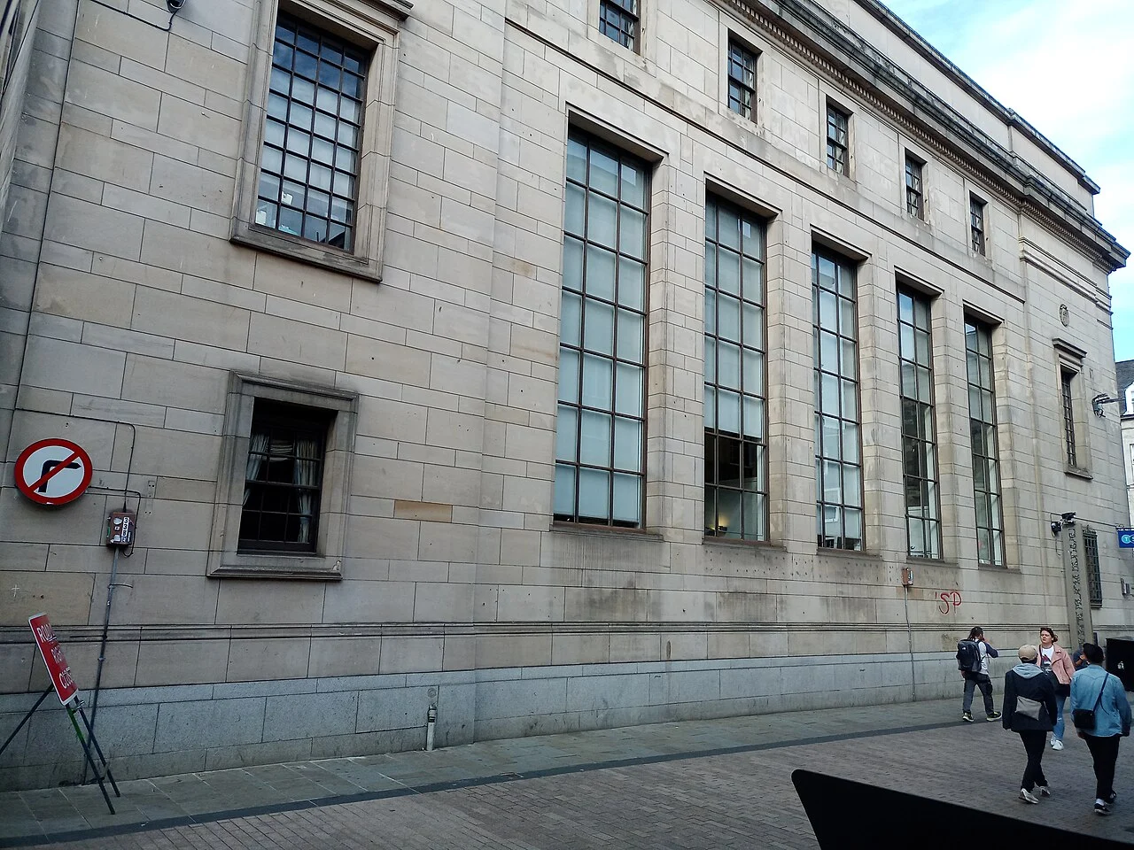
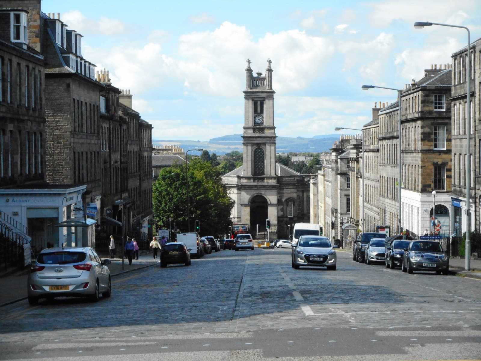
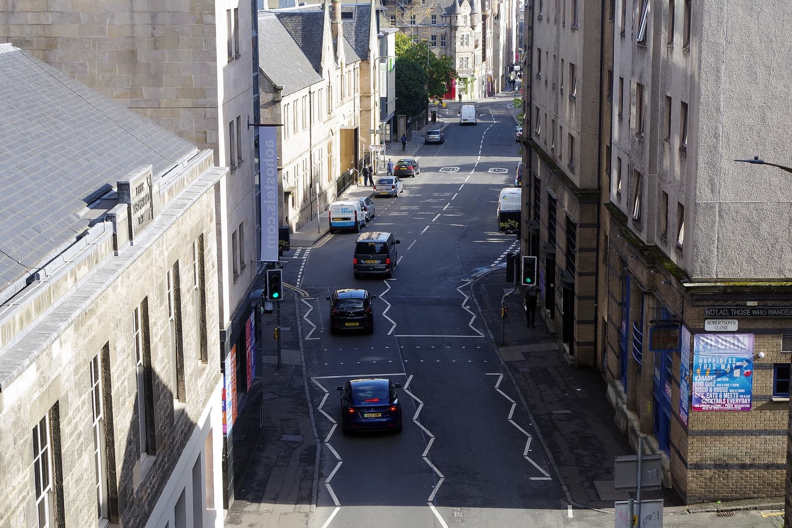
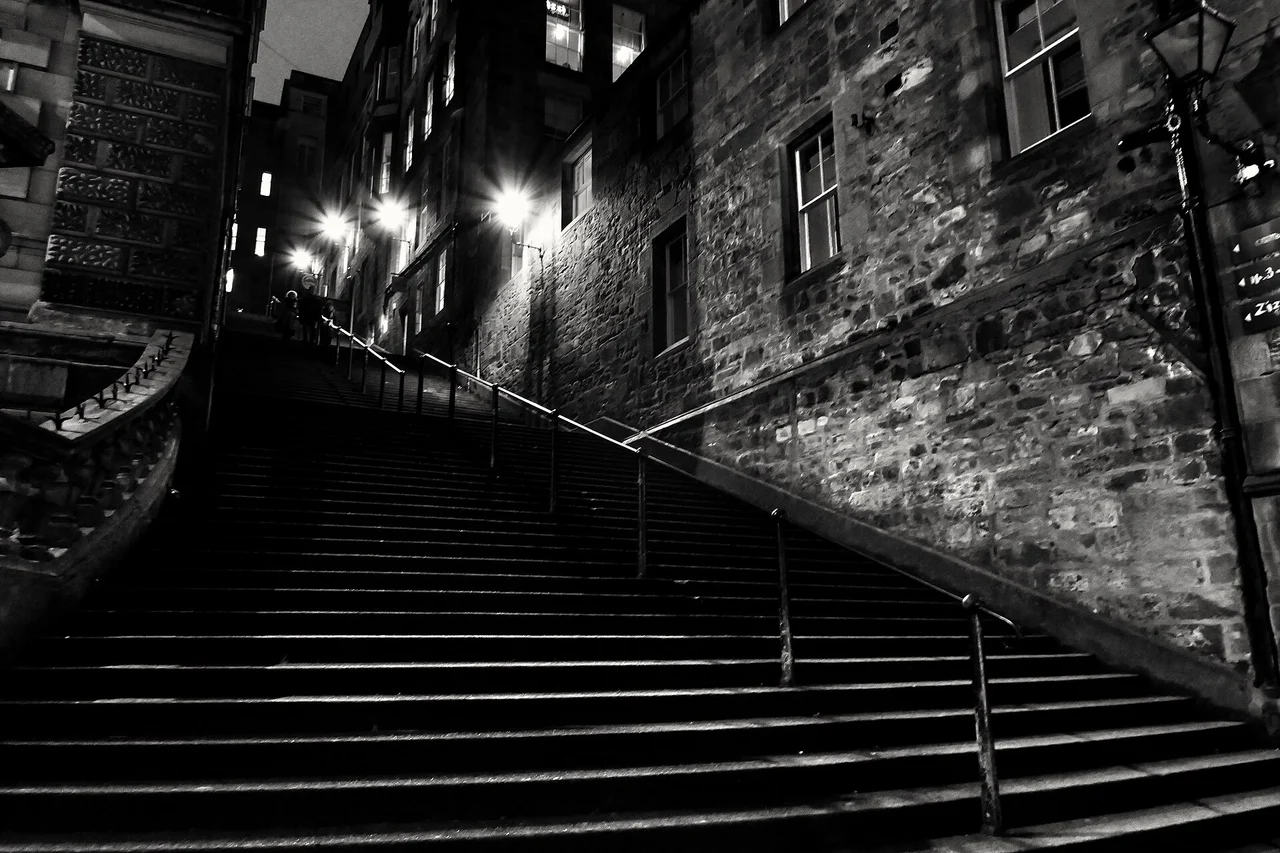
Movies · 3 research locationsTrainspottingThe original film’s three documented opening-chase streets; supplements the main World without merging sequel geography.
CreditVictuallers · CC BY-SA 4.0 · Hanover Street · photographed 11 September 2023 (according to Exif data). Location context, not a production still. Resized from the credited Commons derivative.
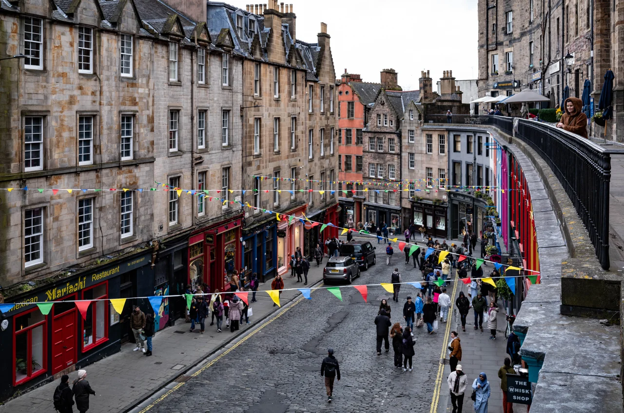
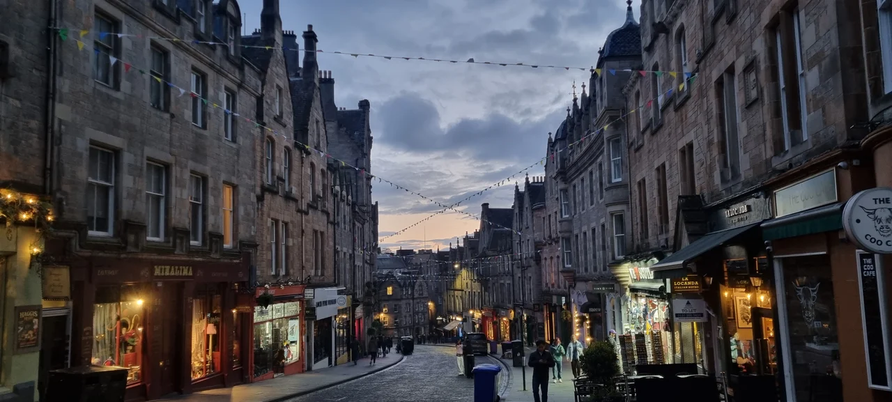
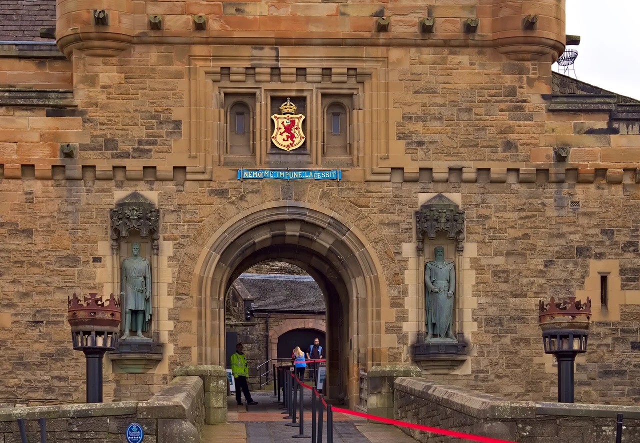
Movies · 17 research locationsT2 TrainspottingSeventeen sites across the city, with lost venues and regional locations explicitly distinguished.
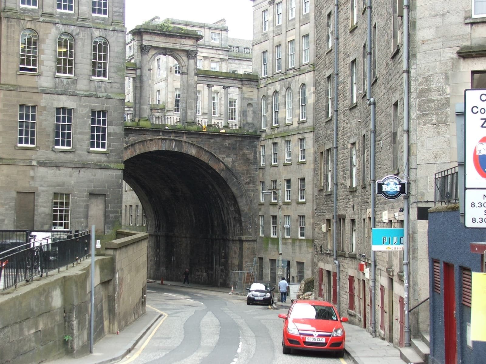
Creditrboed* · CC BY 2.0 · Victoria Street · photographed 2024-04-29 16:07:58. Location context, not a production still. Resized from the original.
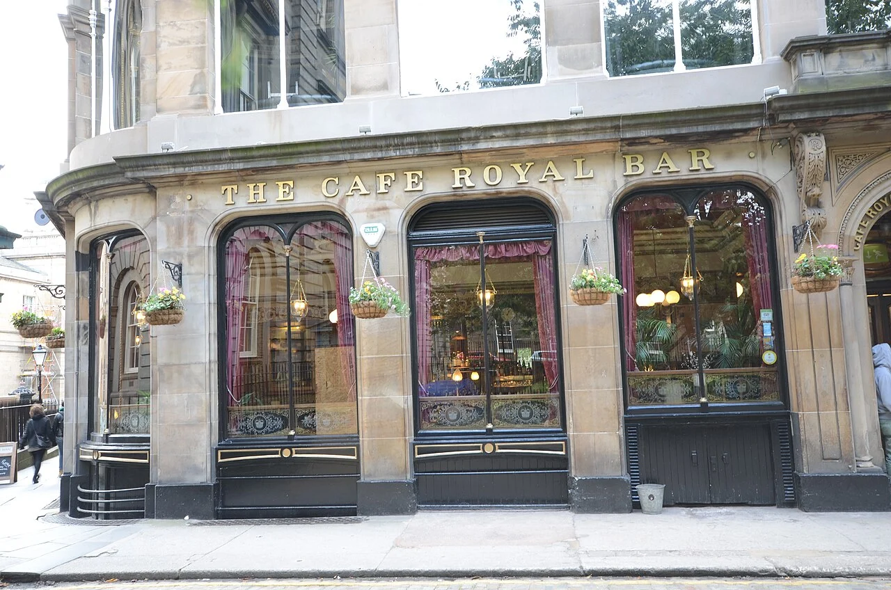
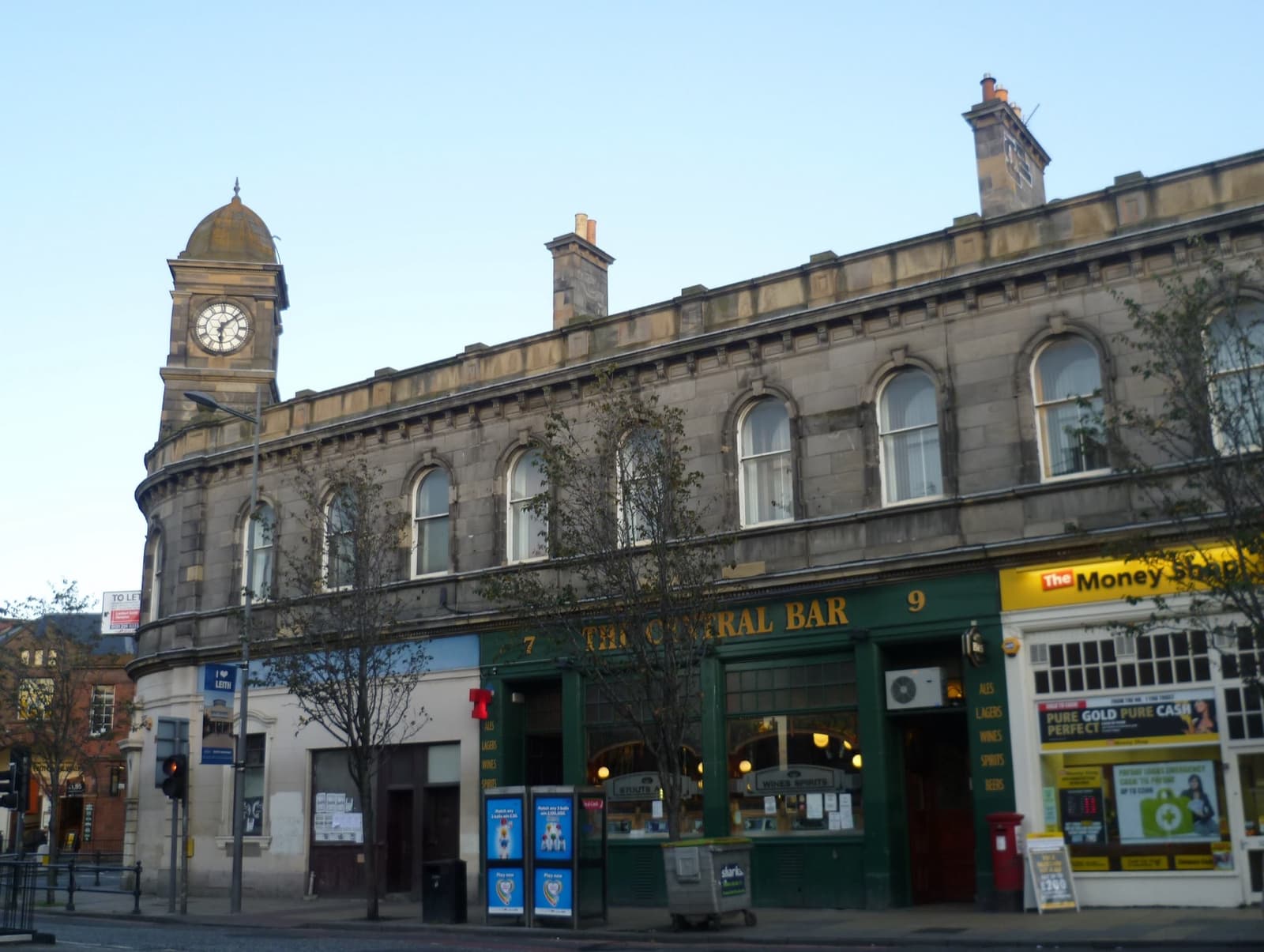
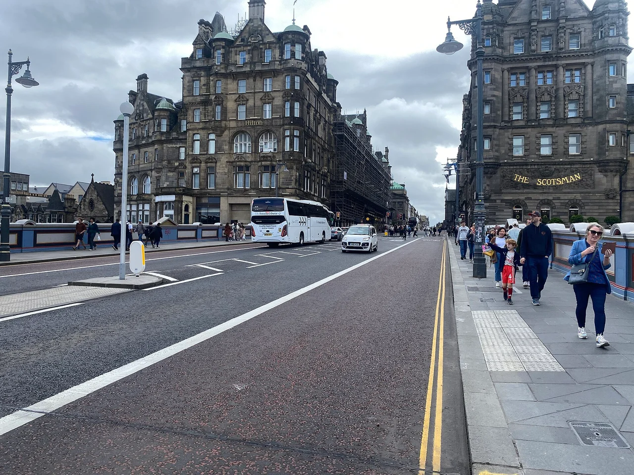
Movies · 4 research locationsChariots of FireSporting sites, a meeting hall and a restaurant; historical church identity remains open.
CreditAfmell · CC BY-SA 3.0 · Cafe Royal · photographed 2013-09-30 12:47:03. Location context, not a production still. Resized from the credited Commons derivative.
Television
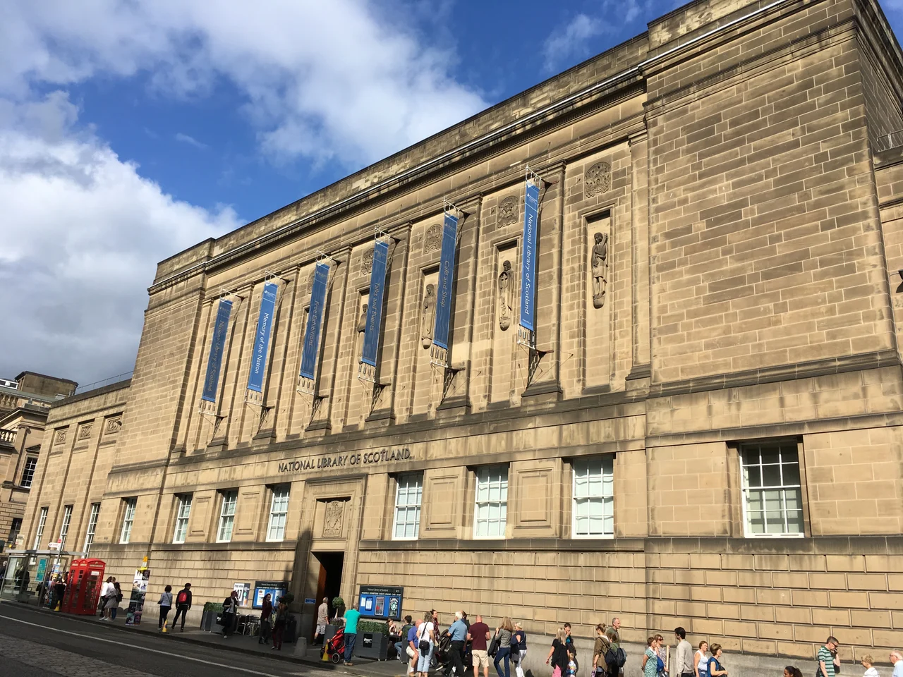
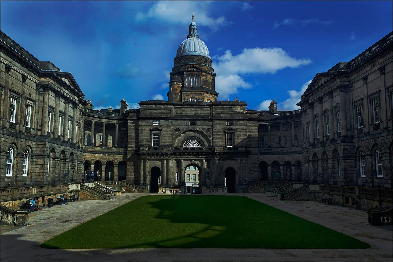
Television · 7 research locationsRebusThe 2024 series, with older Rebus versions kept separate.
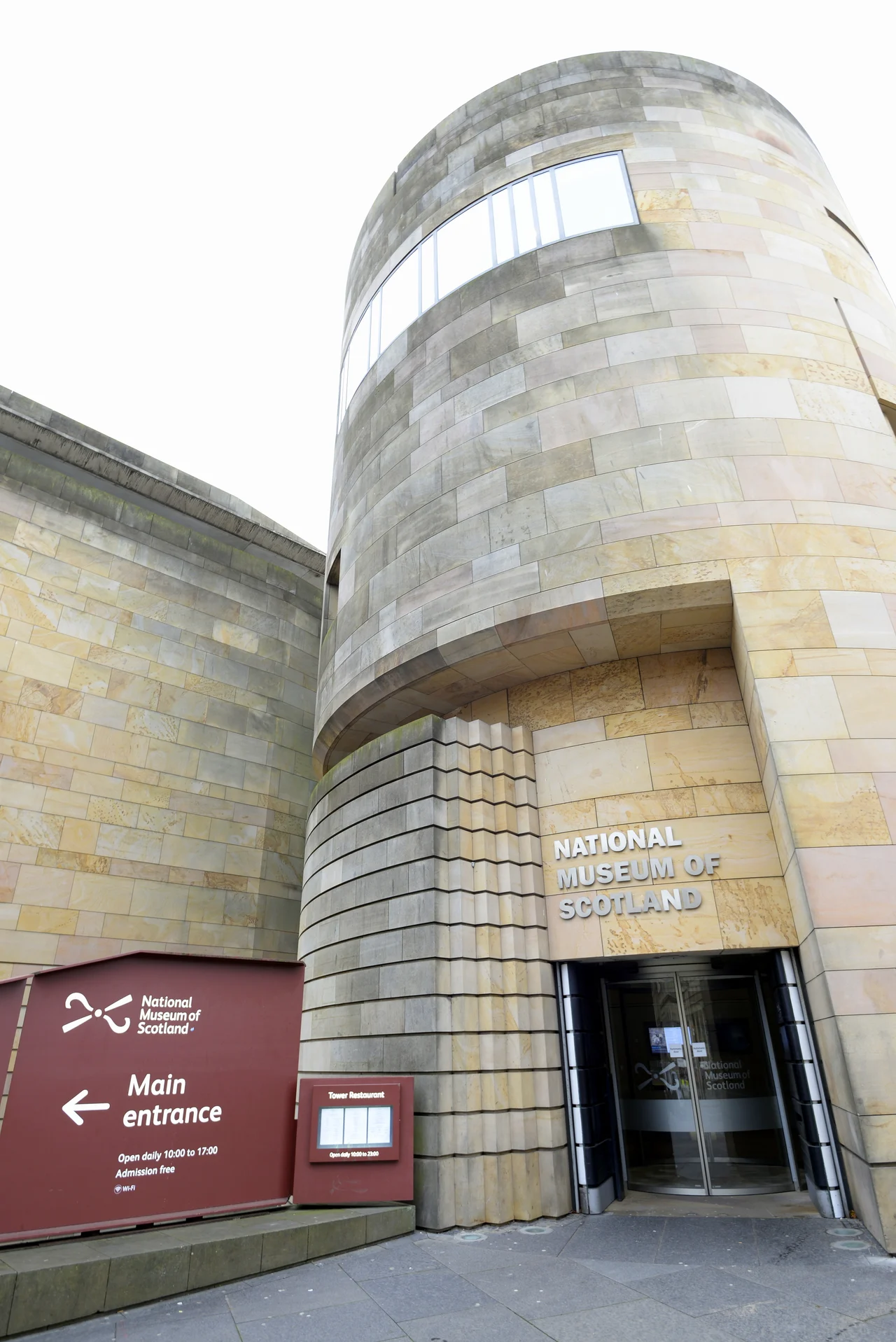
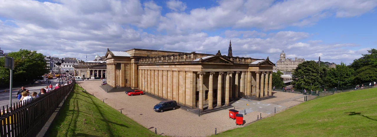
CreditMarcok · CC BY-SA 4.0 · National Library of Scotland · photographed 2018-08-21 15:37:15. Location context, not a production still. Resized from the original.
Television · 22 research locationsDept. QThe police basement, city streets and outlying estates, with filmed geography kept separate from the fictional investigation.
CreditStinglehammer · CC BY-SA 4.0 · Cockburn Street · photographed 2026-05-13 21:31:51. Location context, not a production still. Resized from the original.
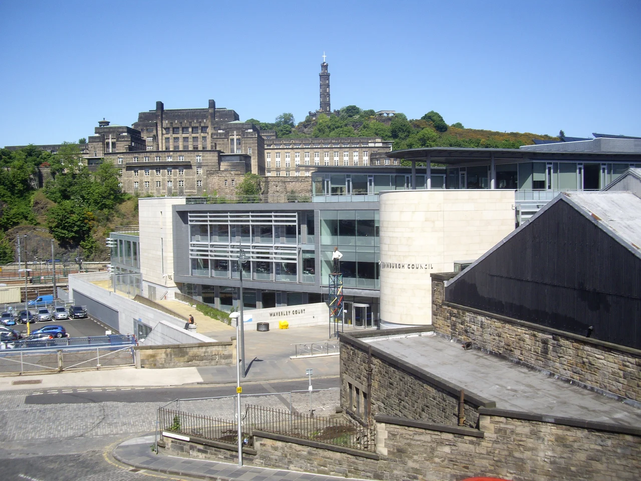
Television · 6 research locationsCase HistoriesJackson Brodie’s second-series city locations, with changed buildings and regional shoots separated.
CreditStanley Howe · CC BY-SA 2.0 · Waverley Court — Creative Scotland offices at filming · photographed 2013-06-08. Location context, not a production still. Resized from the original.
Music
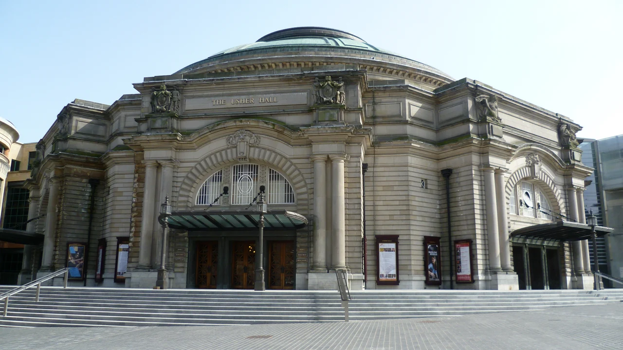
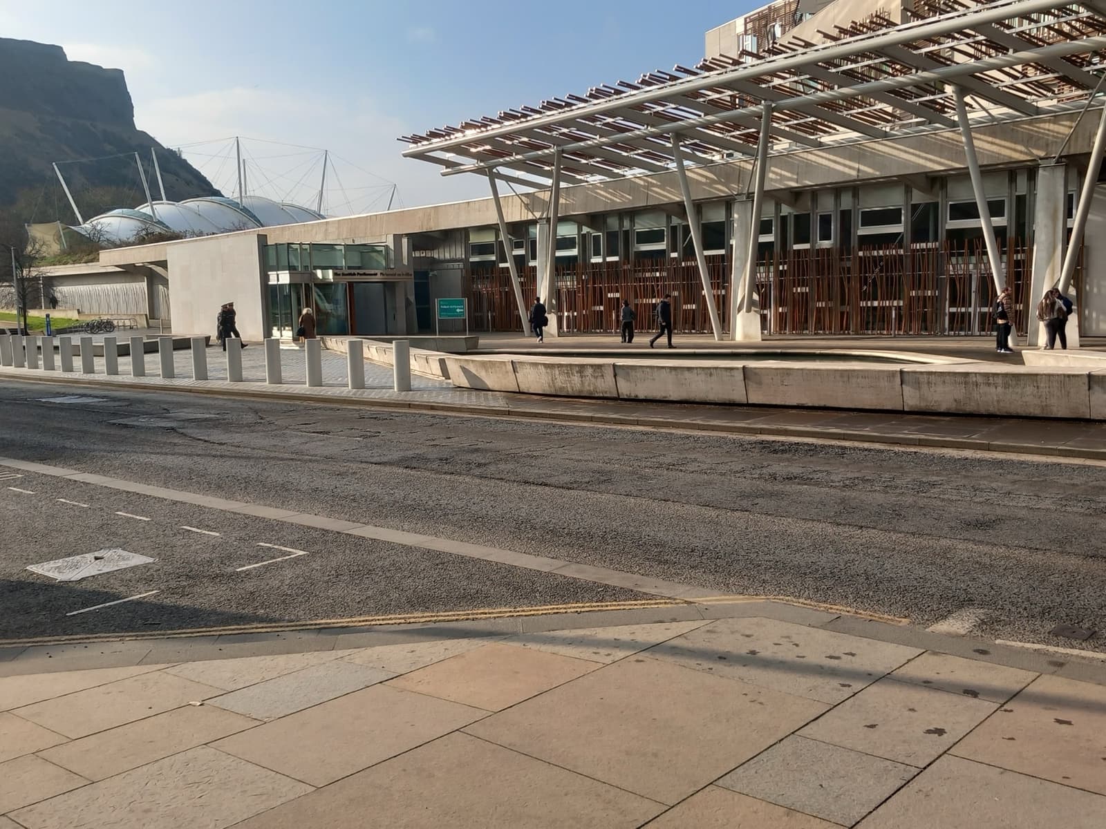
Music · 5 research locationsThe ProclaimersLeith associations, venues and documented performances; future dates remain announcements.
CreditKim Traynor · CC BY-SA 3.0 · Usher Hall · photographed 2011-04-09. Location context, not a production still. Resized from the original.
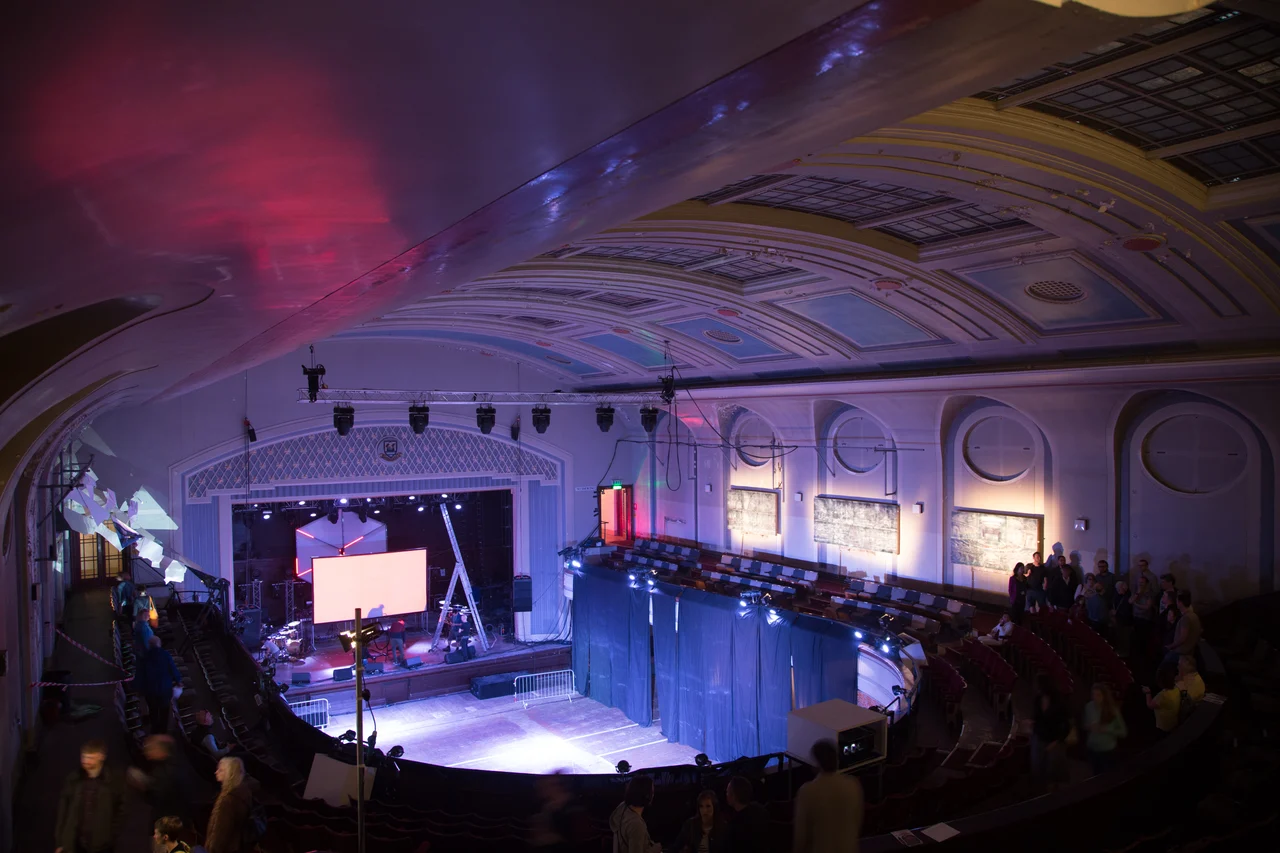
Music · 2 research locationsYoung FathersLeith performance and rehearsal, a museum exhibition and an unlocated recording-room lead.
CreditTom Parnell · CC BY-SA 4.0 · Leith Theatre · photographed 2017-06-03 15:32:05. Location context, not a production still. Resized from the original.
Music · 2 research locationsBay City RollersFan memorials and an announced engagement; early venue identity remains unresolved.
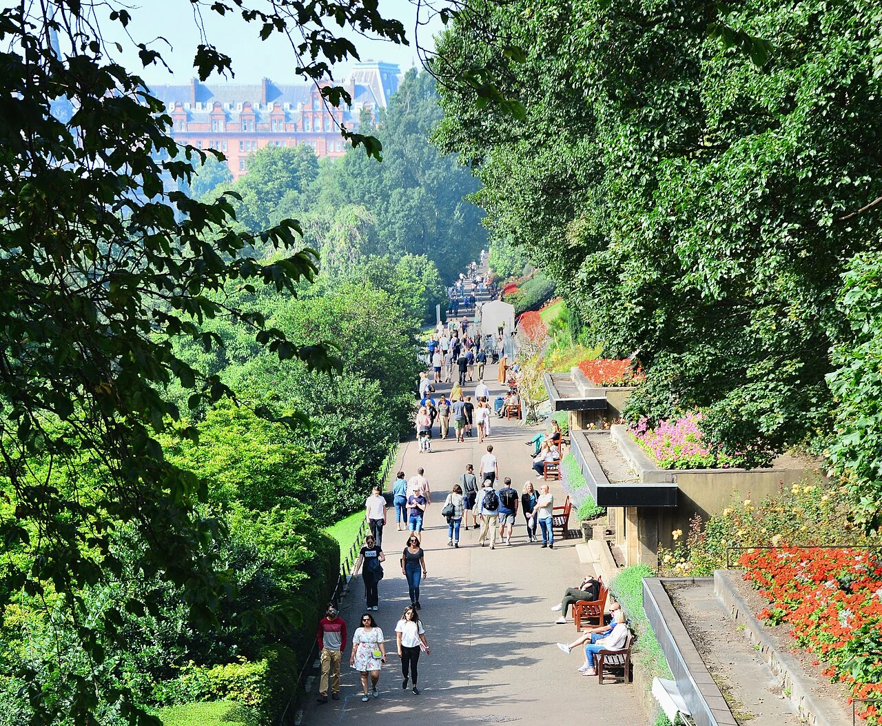
CreditMike McBey · CC BY 2.0 · Princes Street Gardens · photographed 2019-08-25 12:02. Location context, not a production still. Resized from the credited Commons derivative.
Look again at a familiar street
Places with stories.
109 reviewed photographs of exact sites. A photograph shows the place today; it is not a production still or a filming position.
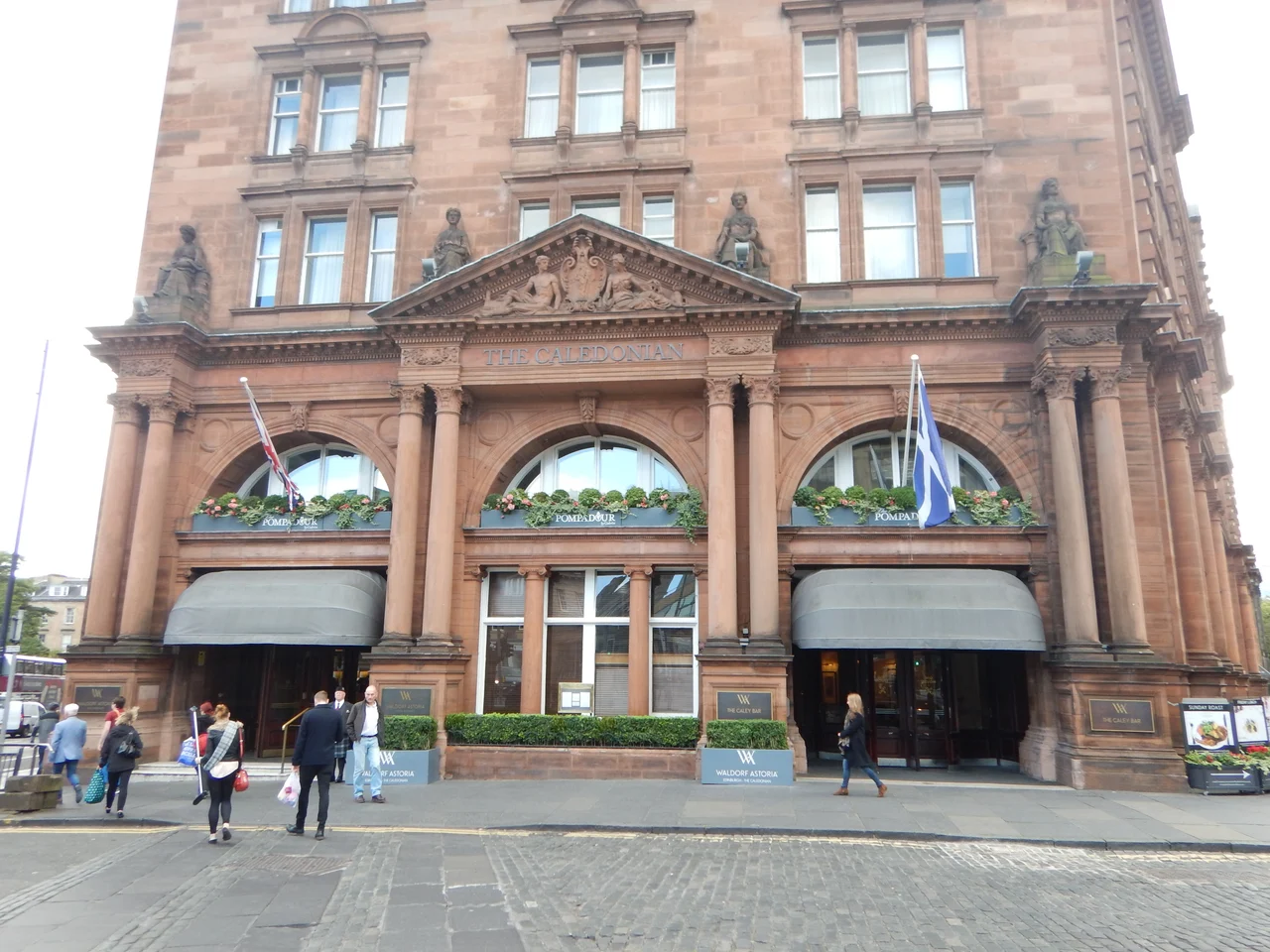
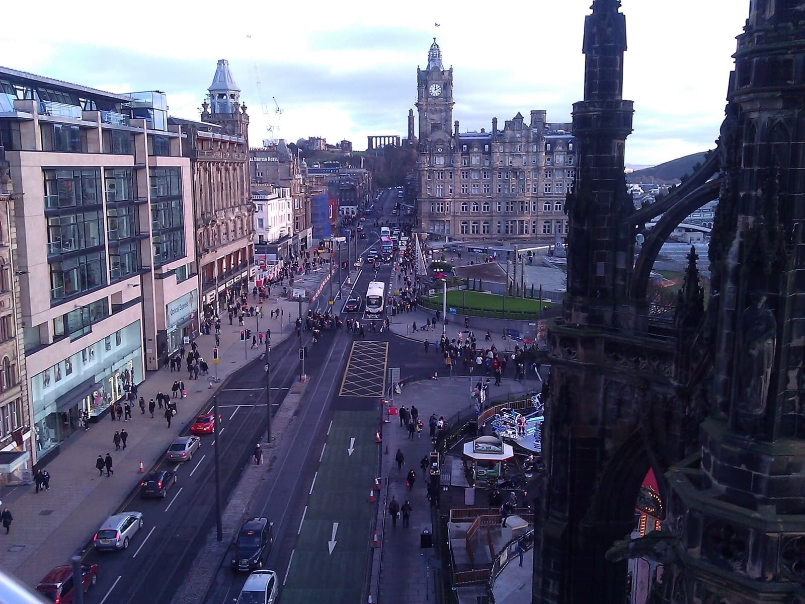
James Emmans · CC BY-SA 2.0 · Caledonian Hotel · photographed 2016-09-27. Location context, not a production still. Resized from the original.Caledonian Hotel
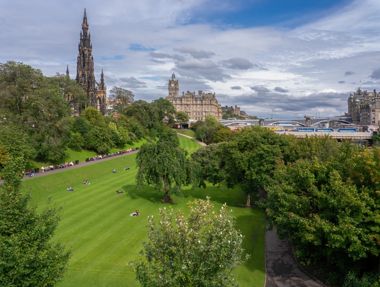
Ermell · CC BY-SA 4.0 · Scott Monument · photographed 2011-09-04 13:03:03. Location context, not a production still. Resized from the original.Scott Monument
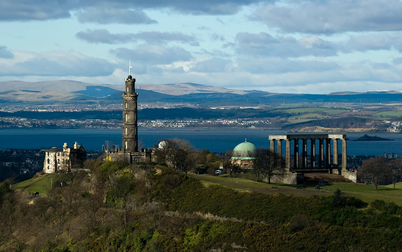
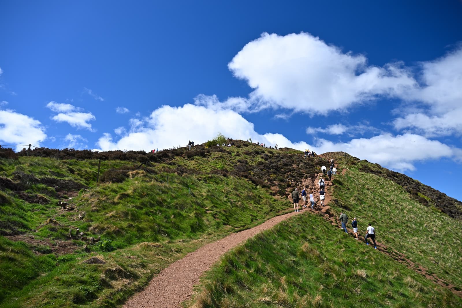
Saffron Blaze · CC BY 3.0 · Calton Hill · photographed date not recorded. Location context, not a production still. Resized from the original.Calton Hill
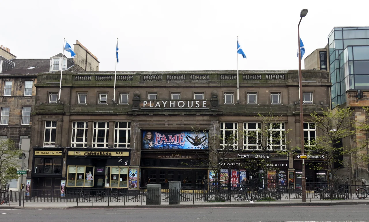
Enric · CC BY-SA 4.0 · Edinburgh Playhouse · photographed 2014-04-21 09:52:24. Location context, not a production still. Resized from the original.Edinburgh Playhouse
Tartanqueen · CC BY-SA 4.0 · Signet Library · photographed 2017-09-23 12:29:48. Location context, not a production still. Resized from the original.Signet Library
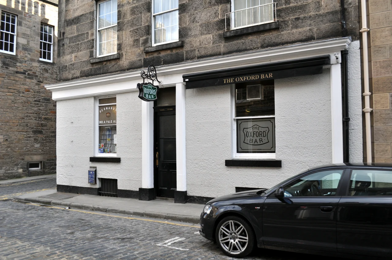
Lokal_Profil · CC BY-SA 3.0 · Oxford Bar · photographed 2011-04-02. Location context, not a production still. Resized from the original.Oxford Bar
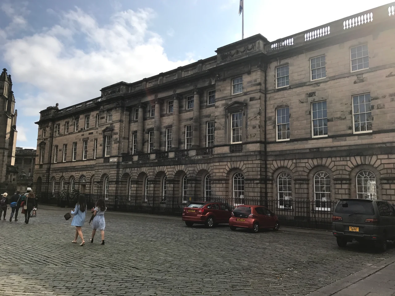
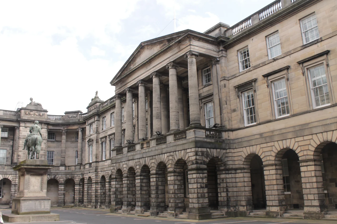
Stephencdickson · CC BY-SA 4.0 · Parliament Square · photographed 2021-08-14 14:01:54. Location context, not a production still. Resized from the original.Parliament Square
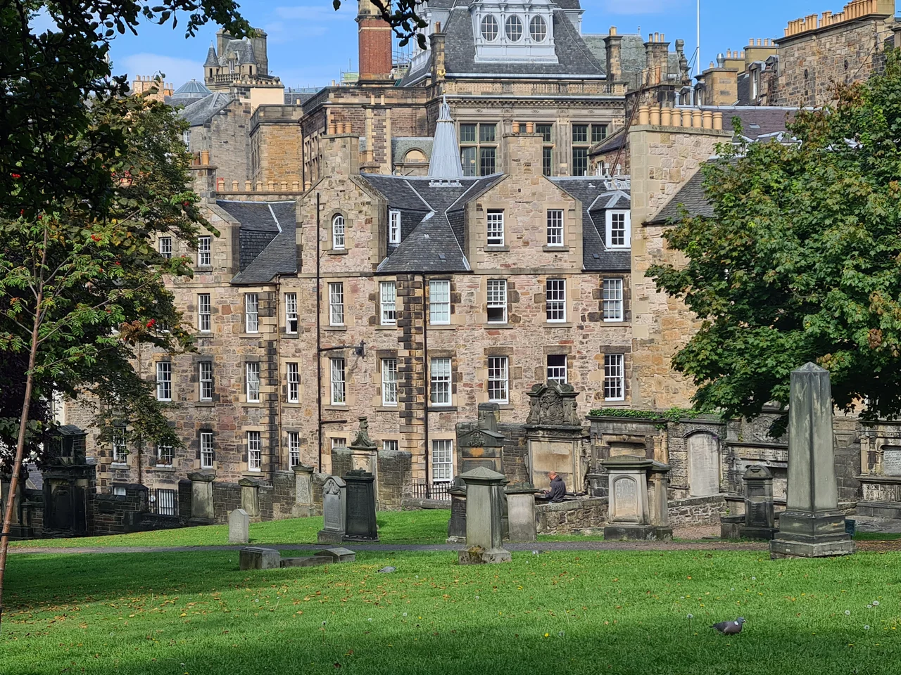
Scglossop1 · CC BY-SA 4.0 · Greyfriars Kirkyard · photographed 15 September 2021 (according to Exif data). Location context, not a production still. Resized from the original.Greyfriars Kirkyard
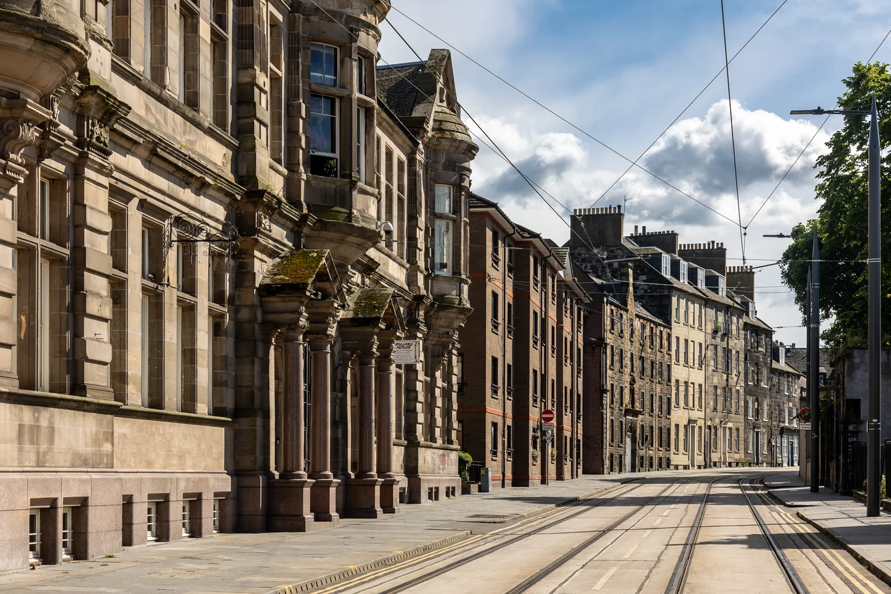
Kenneth C. Zirkel · CC BY 4.0 · Constitution Street · photographed Taken on 15 June 2024, 16:30:26. Location context, not a production still. Resized from the original.Constitution Street
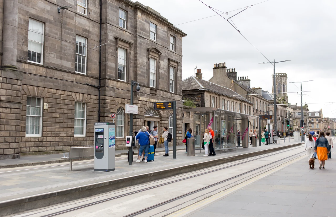
GodeNehler · CC BY-SA 4.0 · The Shore · photographed 2023-07-06 12:59:49. Location context, not a production still. Resized from the original.The Shore
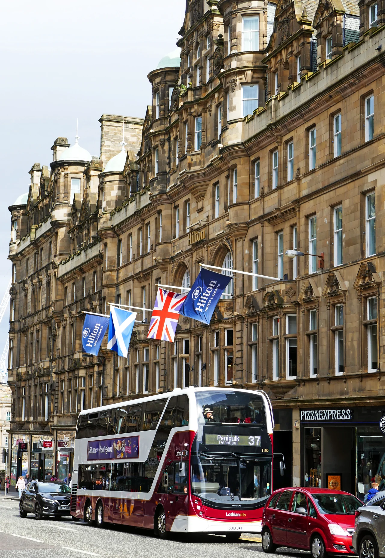
Calstanhope · CC BY-SA 4.0 · Hilton Edinburgh Carlton · photographed 2019-09-14 07:10:56. Location context, not a production still. Resized from the original.Hilton Edinburgh Carlton
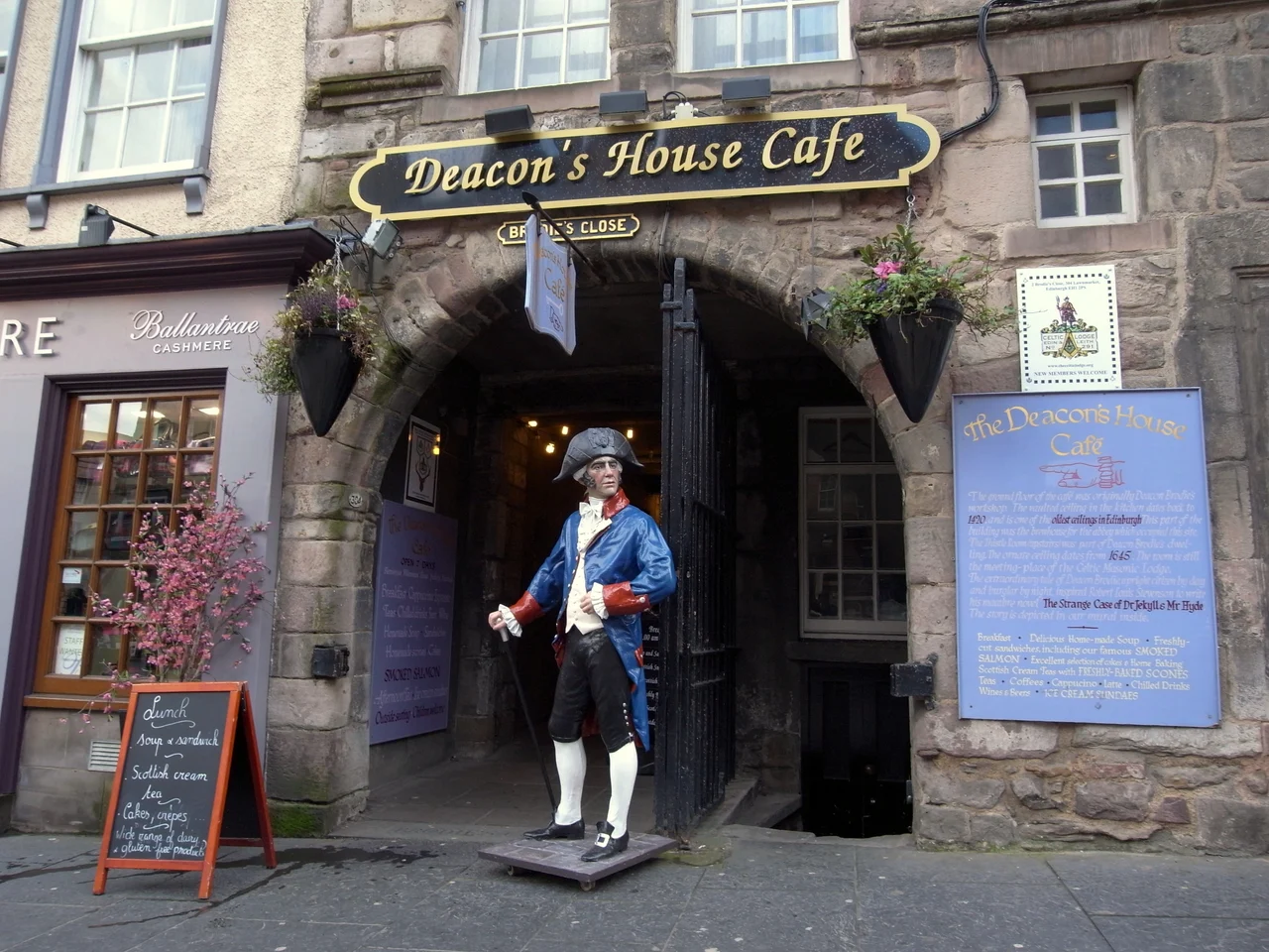
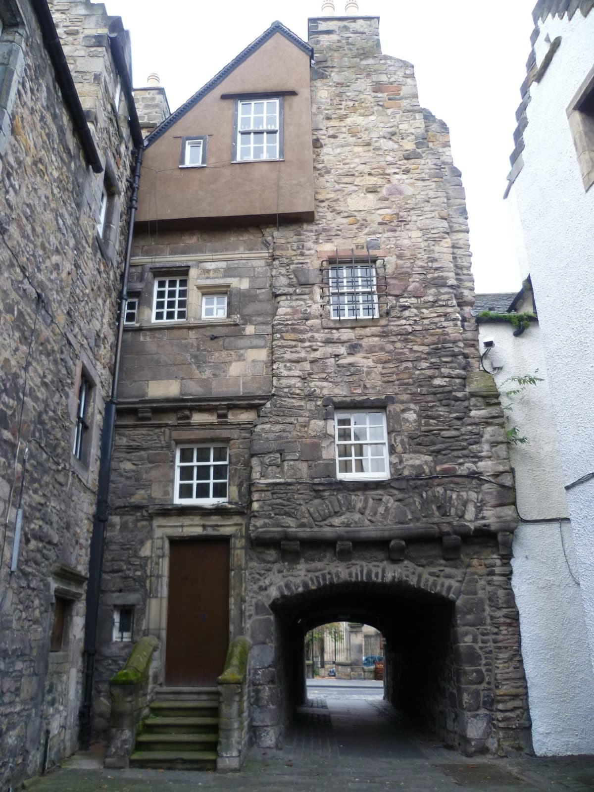
Daniel Naczk · CC BY-SA 4.0 · Brodie’s Close · photographed 2015-04-11. Location context, not a production still. Resized from the original.Brodie’s Close
Get your bearings
Map & full archive.
Every Place and Moment record, including sites not yet ready for a pin. A marker is a site reference, not a filming position or a route; access and city-boundary status stay as researched.
Existing geography to build from
4 inherited World connections · 13 Place records. These records retain their original research status.
13 matching inherited Place records · 21 remaining source leads
Choose a named place below the map. Pins come from existing subject evidence; they are not a route or a new access certification.
Complete inherited record access
Includes restricted and unmapped-in-this-view records. Map eligibility never removes a record from this list.
Princes Street · public access
Princes Street
Princes Street, New Town, Edinburgh
Described in the place’s facts.
Inherited access advice: A public street, open at all hours. The trams stop along it. Reconfirm before visiting.
Inherited access advice: Open at all hours. The High Road is closed to motor traffic; walkers and dismounted cyclists can still use it. Reconfirm before visiting.
Inherited access advice: Free entry and free 45-minute guided tours, Monday to Saturday. Closed to the public 9–12 October 2026. Reconfirm before visiting.
Inherited access advice: Now a venue: the hall opens for performances and events. The tower is best seen from St Vincent Street. Reconfirm before visiting.
Inherited access advice: Historic Environment Scotland. Daily 10am–4pm October to March. Adults £7.50 online. Buses from the city centre stop within 15 minutes’ walk. EH16 4SY. Reconfirm before visiting.
Inherited access advice: Open 363 days a year. November and December 10am–5pm, last entry 3pm; closed 25 December and 1 January. Reconfirm before visiting.
One record per explicitly reconciled site, with its separate cultural connections. The map starts with sites that have reviewed public visiting conditions. The research view also shows verified approximate site references with restricted or unconfirmed access; these records have no public subject destinations. Only individually reviewed, licensed imagery appears. Unresolved geography remains searchable.
117 of 117 draft site records · 191 of 191 Moments
77 mapped site references · Reviewed public visiting conditions. Private sites and unresolved coordinates are excluded.
Newly reviewed site positions
Approximate site points. These do not identify filming positions, entrances or a travel route. Current restrictions remain attached to each site.
Choose a named site below. These are approximate site positions, not filming viewpoints or entrances.
Featured in the museum’s Scottish pop exhibition, 22 June–25 November 2018. This is an exhibition association, not evidence of recording or performing here.
Association evidence
PROBABLE · The cited source supports this association. Independent historical verification, exact footprint and canonical subject relationships remain open.
The operating Chambers Street museum combines historic and later museum buildings. Major refurbishment and additions mean screen spaces should not be assumed unchanged; the specific filming footprint remains unresolved.
General museum entry is free; some special exhibitions charge. Check the operator for opening and accessibility information. Public gallery admission does not certify access to a particular screen setting or filming position.
Special Exhibition Gallery 1, National Museum of Scotland, Chambers Street. This is the same museum as the screen-location records, not an additional physical site. Exact geometry remains unresolved.
Supporting source
PROBABLE · Limited source-review note; does not certify a location pin, current admission or reproduction rights.
The exhibition ended in 2018. Do not imply its loans, costumes or instruments remain on display. Current museum admission does not establish access to these objects.
Supporting source
PROBABLE · Limited source-review note; does not certify a location pin, current admission or reproduction rights.
Named HES entity 365065, LB27748, identifies this site at British National Grid 325820, 673290 (EPSG:27700). The source describes Within 10m precision. Converted to WGS84 with PROJ OSGB36 to WGS84 (6), reported transform accuracy 2 metres, and rounded to five decimal places. Approximate site context only; no filming position, entrance, route or public access is inferred.
Supporting source
VERIFIED · Approximate site position only. No entrance, route or camera-position precision.
Marcok · CC BY-SA 4.0 · National Library of Scotland · photographed 2018-08-21 15:37:15. Location context, not a production still. Resized from the original.
Approximate site point — not an entrance · Public visiting — check conditions
Rebus (2024)
VisitScotland identifies this location in the 2024 series. Specific scene, filming footprint and current identity require individual review.
Association evidence
PROBABLE · The cited source supports this association. Independent historical verification, exact footprint and canonical subject relationships remain open.
The operator identifies the continuing George IV Bridge library, with public exhibitions, café and reading rooms. This does not identify which room or exterior position appears on screen.
Check current opening and accessibility information. Reading-room use requires Library membership; exhibition and café visiting do not establish access to filmed or restricted spaces. No entrance geometry is certified.
Supporting source
PROBABLE · Current operator information supports this limited state/access record, not a filming footprint, coordinate or image licence.
The Library’s official George IV Bridge visitor page links to this named map record. Its resolved place fields specify latitude 55.9485782 and longitude -3.1919722. The different viewport longitude -3.1945471 is not used. Rounded approximate building context only, not an entrance, reading room or camera position.
Supporting source
VERIFIED · Approximate site position only. No entrance, route or camera-position precision.
Enric · CC BY-SA 4.0 · Edinburgh Playhouse · photographed 2014-04-21 09:52:24. Location context, not a production still. Resized from the original.
Approximate site point — not an entrance · Public visiting — check conditions
The Proclaimers
The artist’s official 2026 tour announcement lists Edinburgh performances on 27 and 28 November. These are scheduled engagements, not completed performances.
Association evidence
PROBABLE · The cited source supports this association. Independent historical verification, exact footprint and canonical subject relationships remain open.
The official city music map lists a past performance association. Venue continuity, concert date and current visitor arrangements need separate review.
Association evidence
PROBABLE · The cited source supports this association. Independent historical verification, exact footprint and canonical subject relationships remain open.
ATG identifies the continuing Edinburgh Playhouse at 18–22 Greenside Place, matching the named HES theatre site.
Public admission is tied to performances and venue conditions. Check tickets, security and accessibility with ATG; no general backstage access or historical stage position is established.
The artist links both engagements to the Edinburgh Playhouse ticket page. Venue entrance geometry remains unresolved.
Supporting source
PROBABLE · Limited source-review note; does not certify a location pin, current admission or reproduction rights.
Check the artist and venue for current availability and admission conditions. No historic attendance, route or guaranteed ticket availability is inferred.
Supporting source
PROBABLE · Limited source-review note; does not certify a location pin, current admission or reproduction rights.
Named HES entity 370771, LB30029, records British National Grid 326120, 674384 (EPSG:27700), with Within 10m precision. Converted with PROJ OSGB36 to WGS84 (6), reported transformation accuracy 2 metres, rounded to five decimal places. Approximate named building or complex context only, not the quadrangle, assembly room, entrance or filming position. Current access and historic association remain separate reviews.
Supporting source
VERIFIED · Approximate site position only. No entrance, route or camera-position precision.
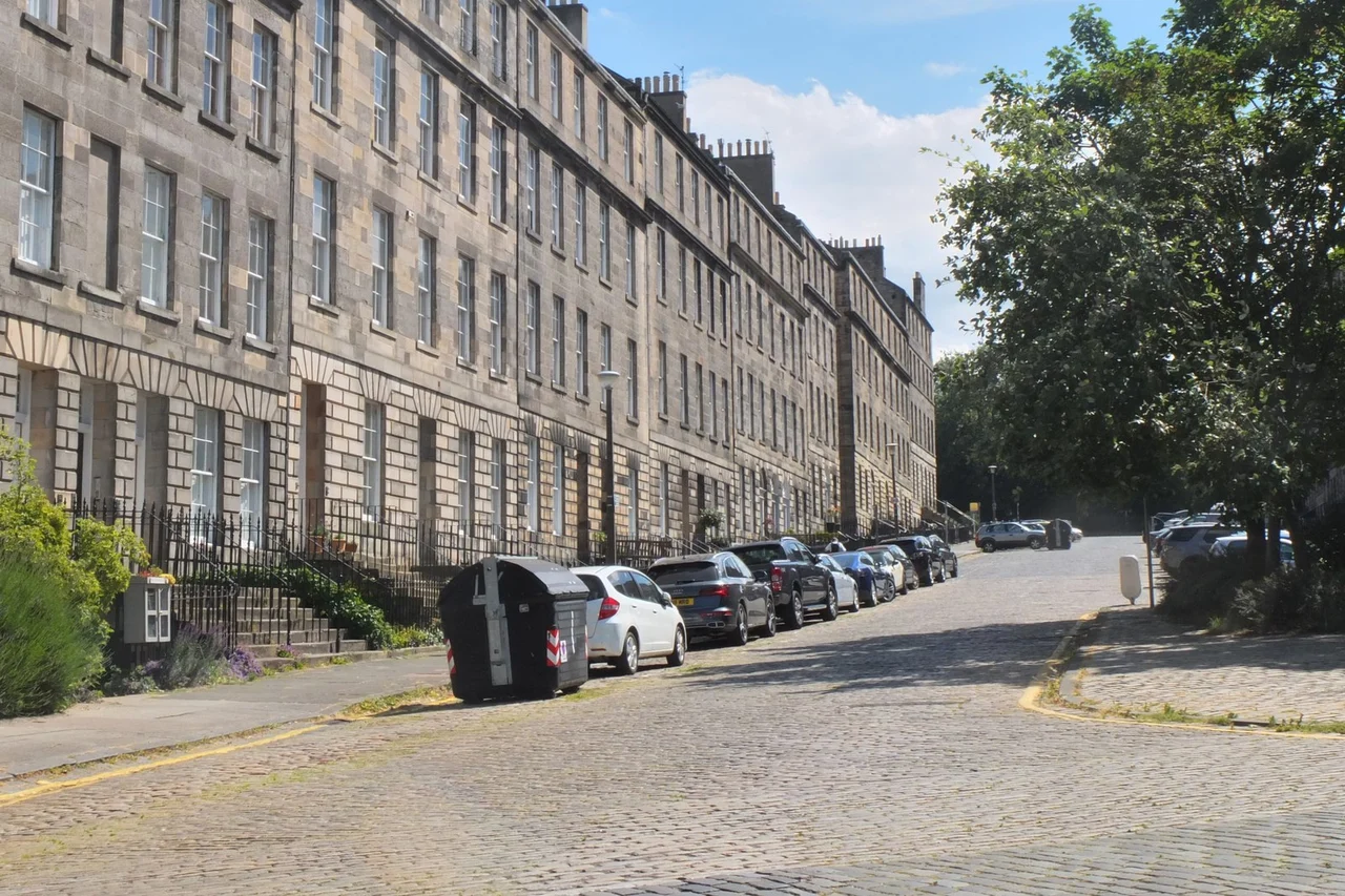
Victuallers · CC BY-SA 4.0 · Hanover Street · photographed 11 September 2023 (according to Exif data). Location context, not a production still. Resized from the credited Commons derivative.
Approximate site point — not an entrance · Public visiting — check conditions
Trainspotting
Film Edinburgh identifies this street in the opening chase. A street-level association does not establish an exact camera or actor position.
Association evidence
PROBABLE · The cited source supports this association. Independent historical verification, exact footprint and canonical subject relationships remain open.
The council’s adopted-road layer independently records confirmed adopted footway segments for Hanover Street. This supports ordinary public street context, not unchanged historical surfaces, a particular filmed facade or access to surrounding premises. Historical fabric continuity remains unverified.
Use public pedestrian areas and obey current closures, traffic controls and signs. The approximate gazetteer reference is not a recommended standing position. Private gardens, houses and businesses are excluded; no step-free route or access to a filming interior is promised.
Supporting source
PROBABLE · Current operator information supports this limited state/access record, not a filming footprint, coordinate or image licence.
City of Edinburgh Council street locator returns HANOVER STREET, NEW TOWN, EDINBURGH, EDINBURGH, USRN 7901842, at British National Grid 325315, 674118. This is the gazetteer street reference, often a recorded endpoint, not a centre, entrance, camera position or full filming extent. Converted using Inverse of British National Grid + OSGB36 to WGS 84 (6) + axis order change (2D), reported transformation accuracy 2.0 metres, rounded five decimals. Approximate named-street context only. No adoption, access right, route or image licence inferred.
Supporting source
VERIFIED · Approximate site position only. No entrance, route or camera-position precision.
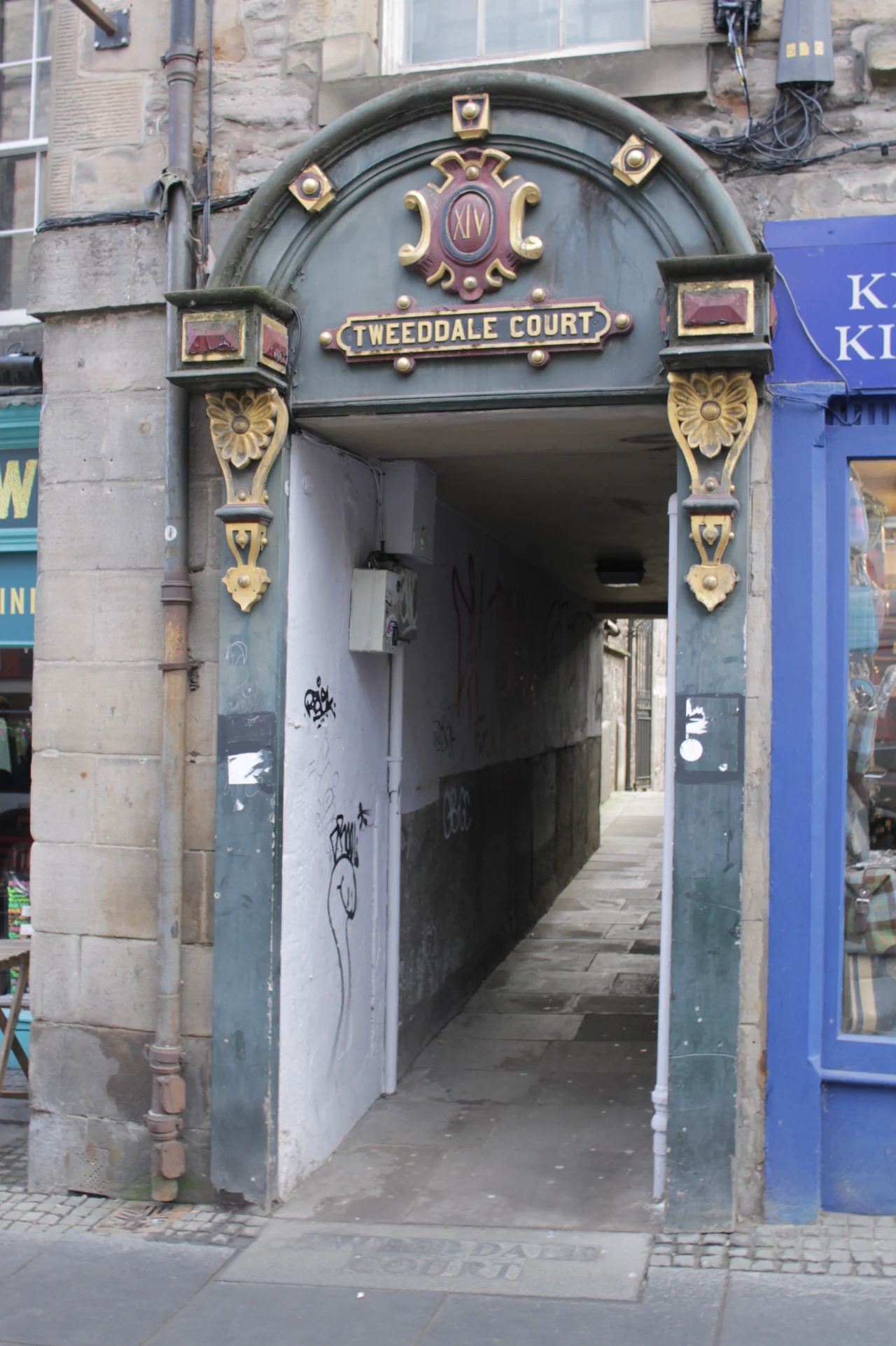
Stephencdickson · CC BY-SA 4.0 · Tweeddale Court · photographed 2023-02-14 13:30:05. Location context, not a production still. Resized from the original.
Approximate site point — not an entrance · Public visiting — check conditions
Outlander
VisitScotland identifies this street as the market where Claire meets Fergus in season three. The temporary market dressing is not a permanent visitor attraction.
Association evidence
PROBABLE · The cited source supports this association. Independent historical verification, exact footprint and canonical subject relationships remain open.
Confirmed adopted footway segments support ordinary street access. Historical building fabric, filmed premises and interiors remain separately unresolved.
Stay on public pedestrian areas; obey closures and signs. No private-house, courtyard-building or interior admission, exact scene position or step-free route is promised. Private gardens, houses and businesses are excluded.
Supporting source
PROBABLE · Current operator information supports this limited state/access record, not a filming footprint, coordinate or image licence.
Council street gazetteer reference for Tweeddale Court, USRN 7903805, British National Grid 326118, 673694. Approximate street reference, potentially a recorded endpoint, not a building footprint, entrance or filming position. Converted using Inverse of British National Grid + OSGB36 to WGS 84 (6) + axis order change (2D), accuracy 2.0 metres, rounded five decimals.
Supporting source
VERIFIED · Approximate site position only. No entrance, route or camera-position precision.
Tartanqueen · CC BY-SA 4.0 · Signet Library · photographed 2017-09-23 12:29:48. Location context, not a production still. Resized from the original.
Approximate site point — not an entrance · Access restricted
Outlander
VisitScotland identifies its interior as the Governor’s mansion in Jamaica. Edinburgh is the actual filming place; Jamaica is depicted geography. Filming evidence does not establish access to the library interior.
Association evidence
PROBABLE · The cited source supports this association. Independent historical verification, exact footprint and canonical subject relationships remain open.
Film Edinburgh identifies this production location. The individual scene and filming footprint remain unresolved; current visiting conditions are recorded separately.
Association evidence
PROBABLE · The cited source supports this association. Independent historical verification, exact footprint and canonical subject relationships remain open.
The Signet Library continues as the WS Society’s law library and research collection. Historical building additions and planned conservation are separate from the filmed interior identity.
Non-members need a prior appointment; there is no drop-in library access. Research visits, dining and private events have separate arrangements. Do not assume a booking grants access to filmed rooms.
Supporting source
PROBABLE · Current operator information supports this limited state/access record, not a filming footprint, coordinate or image licence.
Named HES entity 365007, LB27709, identifies this site at British National Grid 325687, 673542 (EPSG:27700). The source describes Within 10m precision. Converted to WGS84 with PROJ OSGB36 to WGS84 (6), reported transform accuracy 2 metres, and rounded to five decimal places. Approximate site context only; no filming position, entrance, route or public access is inferred.
Supporting source
VERIFIED · Approximate site position only. No entrance, route or camera-position precision.
Lokal_Profil · CC BY-SA 3.0 · Oxford Bar · photographed 2011-04-02. Location context, not a production still. Resized from the original.
Approximate site point — not an entrance · Public visiting — check conditions
Rebus (2024)
VisitScotland documents filming outside the bar for the 2024 Richard Rankin series. This record must not silently extend to the earlier television adaptations or imply interior filming.
Association evidence
PROBABLE · The cited source supports this association. Independent historical verification, exact footprint and canonical subject relationships remain open.
CAMRA’s local venue guide identifies Oxford Bar at 8 Young Street as an operating pub with published opening times. This is an independent local venue record, not operator confirmation or proof of an unchanged historical interior.
The guide lists daily noon–midnight opening and says children are not admitted. Check with the venue before travelling; customer access is subject to opening, capacity and house rules. No filming position or step-free route is certified.
Supporting source
PROBABLE · Current operator information supports this limited state/access record, not a filming footprint, coordinate or image licence.
HES named entity 370739 (LB30005) records British National Grid 324874, 673984, Within 10m source precision. Converted through non-ballpark OSGB36 to WGS84 (6), reported 2 metre accuracy, rounded five decimals. Approximate named-site point only, not an entrance, camera position or access licence. Jenners on Princes Street is distinct from its Balgreen repository.
Supporting source
VERIFIED · Approximate site position only. No entrance, route or camera-position precision.
The council parks record identifies Calton Hill as a managed public hill with walks and monuments. Individual monuments and buildings have separate admission conditions.
Use pedestrian paths and check local notices. Vehicle access requires an appointment; no accessible driving route or filmed position is certified.
Supporting source
PROBABLE · Current operator information supports this limited state/access record, not a filming footprint, coordinate or image licence.
Council named-park record publishes latitude/longitude 55.954709, -3.183294. Approximate reference for the whole named landscape only; not an entrance, monument, filmed footprint or camera position. No coordinate is transferred to neighbouring structures.
Supporting source
VERIFIED · Approximate site position only. No entrance, route or camera-position precision.
The council’s adopted-road layer independently records confirmed adopted footway segments for Scotland Street. This supports ordinary public street context, not unchanged historical surfaces, a particular filmed facade or access to surrounding premises. Historical fabric continuity remains unverified.
Use public pedestrian areas and obey current closures, traffic controls and signs. The approximate gazetteer reference is not a recommended standing position. Private gardens, houses and businesses are excluded; no step-free route or access to a filming interior is promised.
Supporting source
PROBABLE · Current operator information supports this limited state/access record, not a filming footprint, coordinate or image licence.
City of Edinburgh Council street locator returns SCOTLAND STREET, BROUGHTON, EDINBURGH, EDINBURGH, USRN 7902169, at British National Grid 325480, 674773. This is the gazetteer street reference, often a recorded endpoint, not a centre, entrance, camera position or full filming extent. Converted using Inverse of British National Grid + OSGB36 to WGS 84 (6) + axis order change (2D), reported transformation accuracy 2.0 metres, rounded five decimals. Approximate named-street context only. No adoption, access right, route or image licence inferred.
Supporting source
VERIFIED · Approximate site position only. No entrance, route or camera-position precision.
The council’s adopted-road layer independently records confirmed adopted footway segments for Moray Place. This supports ordinary public street context, not unchanged historical surfaces, a particular filmed facade or access to surrounding premises. Historical fabric continuity remains unverified.
Use public pedestrian areas and obey current closures, traffic controls and signs. The approximate gazetteer reference is not a recommended standing position. Private gardens, houses and businesses are excluded; no step-free route or access to a filming interior is promised.
Supporting source
PROBABLE · Current operator information supports this limited state/access record, not a filming footprint, coordinate or image licence.
City of Edinburgh Council street locator returns MORAY PLACE, NEW TOWN, EDINBURGH, EDINBURGH, USRN 7903062, at British National Grid 324590, 674118. This is the gazetteer street reference, often a recorded endpoint, not a centre, entrance, camera position or full filming extent. Converted using Inverse of British National Grid + OSGB36 to WGS 84 (6) + axis order change (2D), reported transformation accuracy 2.0 metres, rounded five decimals. Approximate named-street context only. No adoption, access right, route or image licence inferred. The street reference does not identify or grant entry to private gardens or houses.
Supporting source
VERIFIED · Approximate site position only. No entrance, route or camera-position precision.
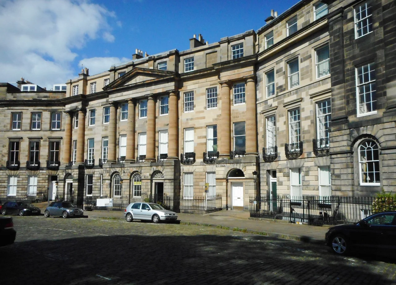
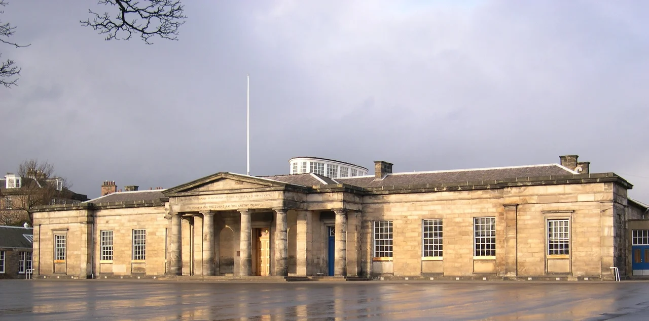
Macumba · Public domain · Edinburgh Academy, Henderson Row · photographed 2005-01-16. Location context, not a production still. Resized from the credited Commons derivative.
Approximate site point — not an entrance · Access under review
The Prime of Miss Jean Brodie
Doubles for Marcia Blaine School.
Association evidence
PROBABLE · The cited source supports this association. Independent historical verification, exact footprint and canonical subject relationships remain open.
Historical continuity and current state are still under review. See the individual source notes; no surviving-building claim is inferred.
Current visitor permission and entrance details are not certified. Source notes may distinguish private property, past exhibitions or regional sites.
Film Edinburgh independently identifies Edinburgh Academy on Henderson Row, separately from the other three named locations. No school visiting permission or precise filmed room is established.
Supporting source
PROBABLE · Limited source-review note; does not certify a location pin, current admission or reproduction rights.
Approximate campus reference uses the named main building at 48 Henderson Row, not Donaldson’s Building at 54 or the separately listed ancillary structures. HES British National Grid 324886, 674852 transformed using Inverse of British National Grid + OSGB36 to WGS 84 (6) + axis order change (2D), accuracy 2.0 metres, rounded five decimals. No precise filming facade, room, gate or access is established.
Supporting source
VERIFIED · Approximate site position only. No entrance, route or camera-position precision.
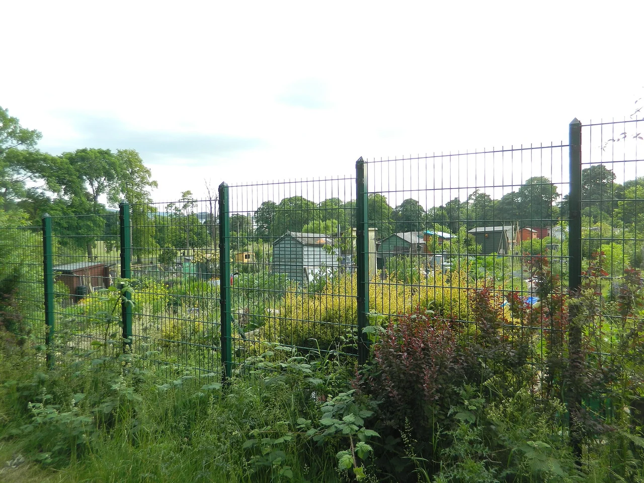
John Lord · CC BY-SA 2.0 · Allotments within Inverleith Park — park context · photographed 2013-06-26. Location context, not a production still. Resized from the credited Commons derivative.
Approximate site point — not an entrance · Public visiting — check conditions
Chariots of Fire
Abrahams training location.
Association evidence
PROBABLE · The cited source supports this association. Independent historical verification, exact footprint and canonical subject relationships remain open.
The council identifies a continuing public park with paths, recreation facilities and wheelchair access. These park-level facilities do not establish accessibility of an individual filming footprint.
Observe current park notices and check council facilities information. Toilets, sports bookings and individual facilities have separate arrangements. No scene-specific route or camera position is claimed.
Supporting source
PROBABLE · Current operator information supports this limited state/access record, not a filming footprint, coordinate or image licence.
The municipal whole-park directory explicitly supplies the location-map latitude and longitude. Rounded five-decimal approximate park site; not a filmed viewpoint, entrance, sports pitch or route. No neighbouring play-area point is substituted.
Supporting source
VERIFIED · Approximate site position only. No entrance, route or camera-position precision.
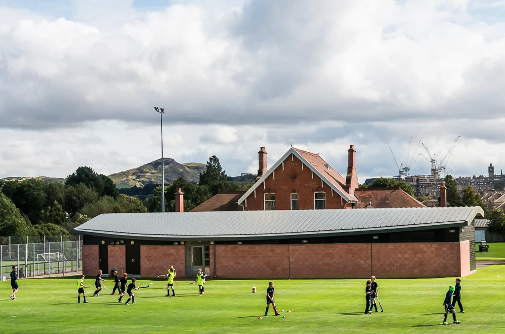
Ian Capper · CC BY-SA 2.0 · Goldenacre Sports Ground in August 2019. Modern field and pavilion context, not a Chariots of Fire still or an exact filmed viewpoint. No public access or coordinates are inferred.
Geometry unresolved · Access under review
Chariots of Fire
Championship race location.
Association evidence
PROBABLE · The cited source supports this association. Independent historical verification, exact footprint and canonical subject relationships remain open.
The hotel continues as The Caledonian Edinburgh, Curio Collection by Hilton, joining that brand in 2024. The operator records substantial changes, including conversion of the former station concourse in 2012. The neighbouring station was demolished; the continuing hotel is a distinct identity.
Arrange accommodation, dining or other permitted visits with the operator. A reservation does not establish access to Hallam Foe filming interiors or private rooms; the precise filmed spaces remain unresolved.
Supporting source
PROBABLE · Current operator information supports this limited state/access record, not a filming footprint, coordinate or image licence.
Named HES entity 369546, LB29524, records British National Grid 324712, 673597 (EPSG:27700), with Within 10m precision. Converted with PROJ OSGB36 to WGS84 (6), reported transformation accuracy 2 metres, rounded to five decimal places. Approximate named building or complex context only, not the quadrangle, assembly room, entrance or filming position. Current access and historic association remain separate reviews.
Supporting source
VERIFIED · Approximate site position only. No entrance, route or camera-position precision.
The destination film map identifies a night-time visit to the monument in the film. The fictional scene does not imply present-day night admission or access to a particular filming position.
Association evidence
PROBABLE · The cited source supports this association. Independent historical verification, exact footprint and canonical subject relationships remain open.
The council identifies the continuing Scott Monument in East Princes Street Gardens, commemorating Walter Scott.
Check current operator information for admission and access conditions. The council directory’s linked former museum page now returns 404, so its seasonal opening hours have not been copied as a current promise. This point identifies the monument, not a stair entrance or camera position.
Supporting source
PROBABLE · Current operator information supports this limited state/access record, not a filming footprint, coordinate or image licence.
Named HES entity 365167, LB27829, identifies this site at British National Grid 325585, 673904 (EPSG:27700). The source describes Within 10m precision. Converted to WGS84 with PROJ OSGB36 to WGS84 (6), reported transform accuracy 2 metres, and rounded to five decimal places. Approximate site context only; no filming position, entrance, route or public access is inferred.
Supporting source
VERIFIED · Approximate site position only. No entrance, route or camera-position precision.
The council’s adopted-road layer independently records confirmed adopted footway segments for The Mound. This supports ordinary public street context, not unchanged historical surfaces, a particular filmed facade or access to surrounding premises. Historical fabric continuity remains unverified.
Use public pedestrian areas and obey current closures, traffic controls and signs. The approximate gazetteer reference is not a recommended standing position. Private gardens, houses and businesses are excluded; no step-free route or access to a filming interior is promised.
Film Edinburgh independently confirms the Mound chase and romantic Newhaven scenes, but gives no camera position or visitor route. The existing film map supplies the more specific harbour association.
Supporting source
PROBABLE · Limited source-review note; does not certify a location pin, current admission or reproduction rights.
City of Edinburgh Council street locator returns THE MOUND, OLD TOWN, EDINBURGH, EDINBURGH, USRN 7902234, at British National Grid 325369, 673823. This is the gazetteer street reference, often a recorded endpoint, not a centre, entrance, camera position or full filming extent. Converted using Inverse of British National Grid + OSGB36 to WGS 84 (6) + axis order change (2D), reported transformation accuracy 2.0 metres, rounded five decimals. Approximate named-street context only. No adoption, access right, route or image licence inferred.
Supporting source
VERIFIED · Approximate site position only. No entrance, route or camera-position precision.
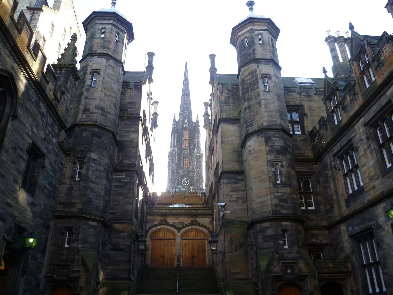
Kim Traynor · CC BY-SA 3.0 · Assembly Hall entrance from the New College quadrangle · photographed 30 September 2010. Location context, not a production still. Resized from the credited Commons derivative.
Approximate site point — not an entrance · Access under review
Chariots of Fire
Religious meeting scene.
Association evidence
PROBABLE · The cited source supports this association. Independent historical verification, exact footprint and canonical subject relationships remain open.
Historical continuity and current state are still under review. See the individual source notes; no surviving-building claim is inferred.
Current visitor permission and entrance details are not certified. Source notes may distinguish private property, past exhibitions or regional sites.
Named HES entity 405371, LB27689, records British National Grid 325459, 673579 (EPSG:27700), with Within 1m precision. Converted with PROJ OSGB36 to WGS84 (6), reported transformation accuracy 2 metres, rounded to five decimal places. Approximate named building or complex context only, not the quadrangle, assembly room, entrance or filming position. Current access and historic association remain separate reviews.
Supporting source
VERIFIED · Approximate site position only. No entrance, route or camera-position precision.
Historical continuity and current state are still under review. See the individual source notes; no surviving-building claim is inferred.
Current visitor permission and entrance details are not certified. Source notes may distinguish private property, past exhibitions or regional sites.
Approximate current property reference for CITY CHAMBERS, 253 HIGH STREET, OLD TOWN, EDINBURGH, EH1 1YJ; UPRN 906268748. Official 100-score Address match, British National Grid {'x': 325763, 'y': 673672}; Inverse of British National Grid + OSGB36 to WGS 84 (6) + axis order change (2D), reported transformation accuracy 2.0 metres, rounded five decimals. This is not a filmed room, quadrangle, fourth-floor table, cellar, entrance or step-free approach. The independently matched identity source is https://www.edinburgh.gov.uk/citychambers. Current access and historical continuity require separate evidence.
Supporting source
VERIFIED · Approximate site position only. No entrance, route or camera-position precision.
Stephencdickson · CC BY-SA 4.0 · Parliament Square · photographed 2021-08-14 14:01:54. Location context, not a production still. Resized from the original.
Approximate site point — not an entrance · Public visiting — check conditions
One Day (2011)
End-of-night gathering.
Association evidence
PROBABLE · The cited source supports this association. Independent historical verification, exact footprint and canonical subject relationships remain open.
The council’s adopted-road layer independently records confirmed adopted footway segments for Parliament Square. This supports ordinary public street context, not unchanged historical surfaces, a particular filmed facade or access to surrounding premises. Historical fabric continuity remains unverified.
Use public pedestrian areas and obey current closures, traffic controls and signs. The approximate gazetteer reference is not a recommended standing position. Private gardens, houses and businesses are excluded; no step-free route or access to a filming interior is promised.
Supporting source
PROBABLE · Current operator information supports this limited state/access record, not a filming footprint, coordinate or image licence.
City of Edinburgh Council street locator returns PARLIAMENT SQUARE, OLD TOWN, EDINBURGH, EDINBURGH, USRN 7902086, at British National Grid 325672, 673592. This is the gazetteer street reference, often a recorded endpoint, not a centre, entrance, camera position or full filming extent. Converted using Inverse of British National Grid + OSGB36 to WGS 84 (6) + axis order change (2D), reported transformation accuracy 2.0 metres, rounded five decimals. Approximate named-street context only. No adoption, access right, route or image licence inferred.
Supporting source
VERIFIED · Approximate site position only. No entrance, route or camera-position precision.
Magnus Hagdorn from UK · CC BY-SA 2.0 · Warriston Close · photographed 15 December 2017, 16:25. Location context, not a production still. Resized from the credited Commons derivative.
Approximate site point — not an entrance · Public visiting — check conditions
One Day (2011)
Steps on the way to Dex’s.
Association evidence
PROBABLE · The cited source supports this association. Independent historical verification, exact footprint and canonical subject relationships remain open.
The council separately records confirmed adopted public footways on Warriston's Close. This supports street-level visiting only; the historic filming relationship does not establish unchanged interiors or building access.
Use the public footway and respect residents, businesses and temporary closures. Building interiors, doorways and filming positions are not included. Street adoption does not certify a step-free route.
Supporting source
PROBABLE · Current operator information supports this limited state/access record, not a filming footprint, coordinate or image licence.
Approximate individually reviewed council Street reference for WARRISTON'S CLOSE, OLD TOWN, EDINBURGH, EDINBURGH. 100-score match. British National Grid {'x': 325749, 'y': 673613}; Inverse of British National Grid + OSGB36 to WGS 84 (6) + axis order change (2D), reported accuracy 2.0 metres, rounded five decimals. Not a filmed room, studio stage, historic keep footprint, entrance or accessible route; no visitor access is inferred.
Supporting source
VERIFIED · Approximate site position only. No entrance, route or camera-position precision.
Daniel Kraft · CC BY-SA 3.0 · Edinburgh Castle bridge and gatehouse in October 2021. Modern location context, not a Filth production still; entry conditions are not certified.
Geometry unresolved · Access under review
Filth
Opening walk location.
Association evidence
PROBABLE · The cited source supports this association. Independent historical verification, exact footprint and canonical subject relationships remain open.
Historical continuity and current state are still under review. See the individual source notes; no surviving-building claim is inferred.
Current visitor permission and entrance details are not certified. Source notes may distinguish private property, past exhibitions or regional sites.
Greyfriars Kirkyard
Scglossop1 · CC BY-SA 4.0 · Greyfriars Kirkyard · photographed 15 September 2021 (according to Exif data). Location context, not a production still. Resized from the original.
Approximate site point — not an entrance · Public visiting — check conditions
Jude (1996)
Burial and parting scenes.
Association evidence
PROBABLE · The cited source supports this association. Independent historical verification, exact footprint and canonical subject relationships remain open.
The continuing kirkyard is owned and maintained by the City of Edinburgh Council, separately from the church. The church operator identifies it as open to visitors.
Respect graves and other visitors. Check current local notices; church admission and tours have separate conditions. The site point does not identify a particular grave, entrance or filming position.
Supporting source
PROBABLE · Current operator information supports this limited state/access record, not a filming footprint, coordinate or image licence.
Named HES entity 363968, LB27029, identifies this site at British National Grid 325609, 673306 (EPSG:27700). The source describes Within 10m precision. Converted to WGS84 with PROJ OSGB36 to WGS84 (6), reported transform accuracy 2 metres, and rounded to five decimal places. Approximate site context only; no filming position, entrance, route or public access is inferred.
Supporting source
VERIFIED · Approximate site position only. No entrance, route or camera-position precision.
Pretzelles · CC BY-SA 4.0 · North Bridge · photographed 2026-08-05 13:29:09. Location context, not a production still. Resized from the credited Commons derivative.
Approximate site point — not an entrance · Public visiting — check conditions
Sunshine on Leith
Opening sequence.
Association evidence
PROBABLE · The cited source supports this association. Independent historical verification, exact footprint and canonical subject relationships remain open.
The film office identifies North Bridge as an Edinburgh location in episode three of the BBC legal thriller. Its regional locations are separate; the source does not establish a shot position, room, entrance or walking route.
Association evidence
PROBABLE · The cited source supports this association. Independent historical verification, exact footprint and canonical subject relationships remain open.
The council announced both pavements and traffic lanes reopening on 31 July 2026 following restoration. This supersedes the earlier incomplete access review. Remaining works and temporary restrictions must still be checked.
Use the public pavements and follow current on-site directions and council travel notices. The site point is not a filming viewpoint, entrance or certified accessible route; do not enter maintenance areas.
Supporting source
PROBABLE · Current operator information supports this limited state/access record, not a filming footprint, coordinate or image licence.
HES entity 370777, LB30035, identifies the named site at British National Grid 325888, 673842 with Within 10m source precision. Non-ballpark OSGB36 to WGS84 (6) transformation reports 2 metre accuracy; rounded to five decimals. Approximate site context only, not an entrance, filming footprint or access permission. Separate buildings on the Dalmeny estate remain distinct.
Supporting source
VERIFIED · Approximate site position only. No entrance, route or camera-position precision.
dun_deagh · CC BY-SA 2.0 · Old College quadrangle · photographed 17 March 2012, 14:38. Location context, not a production still. Resized from the credited Commons derivative.
Approximate site point — not an entrance · Access under review
Journey to the Centre of the Earth (1959)
Lindenbrook addresses students.
Association evidence
PROBABLE · The cited source supports this association. Independent historical verification, exact footprint and canonical subject relationships remain open.
Talbot Rice Gallery identifies its continuing home within Old College. Its current notice says the gallery is closed for exhibition installation until 24 October 2026; this does not establish closure or unrestricted opening of the entire quadrangle.
Check with the University for access to the quadrangle and individual rooms. Gallery admission and opening are separate from the historic filmed setting. An older plan-your-visit page describes pandemic ticketing and is not used as current admission advice.
Supporting source
PROBABLE · Current operator information supports this limited state/access record, not a filming footprint, coordinate or image licence.
Named HES entity 405920, LB27989, records British National Grid 325995, 673360 (EPSG:27700), with Within 1m precision. Converted with PROJ OSGB36 to WGS84 (6), reported transformation accuracy 2 metres, rounded to five decimal places. Approximate named building or complex context only, not the quadrangle, assembly room, entrance or filming position. Current access and historic association remain separate reviews.
Supporting source
VERIFIED · Approximate site position only. No entrance, route or camera-position precision.
Source-reviewed leads, held off the map until identity, coordinates and current access are reviewed. No source photographs are reproduced. The search and category controls above also filter this section.
Links Place / Gardens
Dept. Q (2025) · Named by the city film office. Scene, filming footprint and current access remain unverified.
Research status and source
film-office association; geometry and visitor review pending. Coordinates unresolved; no complete access clearance; image rights not secured.
Film Edinburgh / City of Edinburgh Council · Checked 2026-10-09
High Street — Restless Natives
Restless Natives · The film office lists High Street in the chase, without an exact section. Retained as an unresolved lead rather than turning the whole Royal Mile into a precise scene.
Research status and source
film-office association; scene footprint unresolved. Coordinates unresolved; no complete access clearance; image rights not secured.
Film Edinburgh / City of Edinburgh Council · Checked 2026-10-10
Young Fathers’ Leith basement studio — address unresolved
Young Fathers · The label identifies a basement studio in Leith as the recording location for Tape One and Tape Two. Tape One was recorded within a week and first issued in November 2011; Tape Two was recorded in January 2012. This is a recording date, not an asserted release date. No street, building identity or public access is supplied.
Research status and source
recording geography verified only to Leith; no site identity or pin. Coordinates unresolved; no complete access clearance; image rights not secured.
Broughton McDonald Church — historic identity unresolved
Chariots of Fire · The film office names the Broughton McDonald Church on Broughton Place as the stand-in for a Church of Scotland setting in Paris. The historic institution, current building identity and access remain unresolved; do not merge with the whole street.
Research status and source
named film-office lead; exact identity or footprint unresolved. Coordinates unresolved; no complete access clearance; image rights not secured.
Film Edinburgh / City of Edinburgh Council · Checked 2026-10-10
Premier Inn, Market Street
Liar (2017) · The film office names this location among the Edinburgh filming sites for the 2017 drama. Exact shot positions and private interiors are not established. The historical hotel name needs current operator/address identity review before a physical site record is created.
Research status and source
single-source location lead. Coordinates unresolved; no complete access clearance; image rights not secured.
Film Edinburgh / City of Edinburgh Council · Checked 2026-10-10
Americana disco — historical site unresolved
Bay City Rollers · McKeown recalls playing with Threshold at the Americana before joining the Rollers. Historical premises, dates, present identity and geometry remain unresolved; no address or map pin is assigned.
Research status and source
first-person retrospective; historical premises unresolved. Coordinates unresolved; no complete access clearance; image rights not secured.
Dave Simpson / Les McKeown interview · Checked 2026-10-10
Calton Studios — historic premises identity under review
Nirvana · Live Nirvana’s concert archive records an Edinburgh engagement at Calton Studios on 29 November 1991, with contemporary newspaper review links and concert documentation. This is separate from the Southern Bar appearance. The relationship to the later Studio 24 premises requires historical identity review before assigning an address or map point.
Research status and source
documented concert; historical premises reconciliation open. Coordinates unresolved; no complete access clearance; image rights not secured.
Council’s 2017 closure schedule identifies former Studio 24 at 24–26 Calton Road. This later venue record is retained as a separate identity lead, not proof of Calton Studios’ 1991 footprint.
Live Nirvana concert archive · Published not stated · Checked 2026-10-10
The nine-World launch slate
Research candidates, not approved callouts. Launch requires 100 verified locations, 20 reviewed Worlds and three evidence-reviewed, implemented callouts per category.
Movies
TrainspottingResearch and implementation gates
Specific city connection and canonical World identity
Place / Moment evidence
Coordinate and historical-state review
Image rights and visitor access
Subject implementation and QA
T2 TrainspottingResearch and implementation gates
Specific city connection and canonical World identity
Place / Moment evidence
Coordinate and historical-state review
Image rights and visitor access
Subject implementation and QA
Avengers: Infinity WarResearch and implementation gates
Specific city connection and canonical World identity
Place / Moment evidence
Coordinate and historical-state review
Image rights and visitor access
Subject implementation and QA
TV
RebusResearch and implementation gates
Specific city connection and canonical World identity
Place / Moment evidence
Coordinate and historical-state review
Image rights and visitor access
Subject implementation and QA
Dept. QResearch and implementation gates
Specific city connection and canonical World identity
Place / Moment evidence
Coordinate and historical-state review
Image rights and visitor access
Subject implementation and QA
Good OmensResearch and implementation gates
Specific city connection and canonical World identity
Place / Moment evidence
Coordinate and historical-state review
Image rights and visitor access
Subject implementation and QA
Music
Young FathersResearch and implementation gates
Specific city connection and canonical World identity
Place / Moment evidence
Coordinate and historical-state review
Image rights and visitor access
Subject implementation and QA
Bay City RollersResearch and implementation gates
Specific city connection and canonical World identity
Place / Moment evidence
Coordinate and historical-state review
Image rights and visitor access
Subject implementation and QA
The ProclaimersResearch and implementation gates
Specific city connection and canonical World identity
Place / Moment evidence
Coordinate and historical-state review
Image rights and visitor access
Subject implementation and QA
Research boundaries
Edinburgh and Leith; Glasgow and other Scottish sites stay separate.
No transport routes, stays, events or new image permissions are inferred. Existing imagery is reproduced only where the subject package records cleared rights.
Destination research starting point; not evidence for every proposed World.
About this city
Edinburgh is a new city on Where It Was and is still growing. Photographs show each place today, not production stills; map markers are site references, not filming positions, and access is as researched, so check before you visit.