
Skip to content
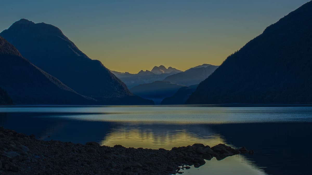
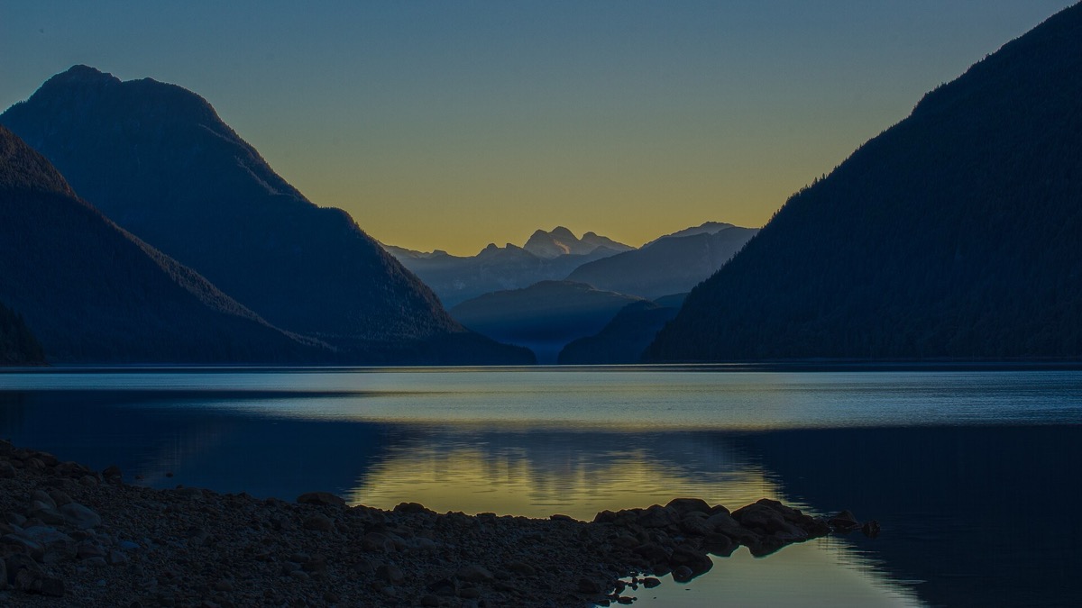
Still lake water with forested hills under an orange dawn sky
Jerry Meaden · CC BY 2.0
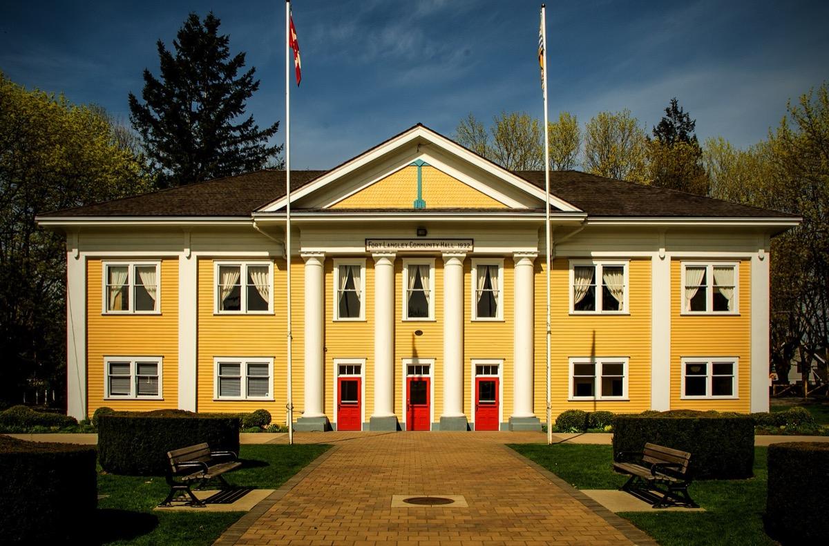
A white wooden hall with a gabled front and a flagpole
Kevin Philipson · CC BY-SA 4.0
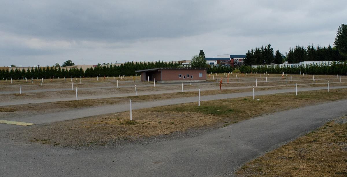
An empty gravel drive-in lot with rows of white speaker posts and a low concession building
Jeff Hitchcock · CC BY 2.0

The CW · 2017–2023 · Metro Vancouver and the Fraser Valley

Riverdale

The town of Riverdale was made from real places across Metro Vancouver. Below, seven panels start as coarse dots, each playing its part on screen. Turn the dial until the dots close up and the real place comes through. In the strip: Alouette Lake, Fort Langley’s hall and the Aldergrove drive-in lot.

Sources

The press

Print the town

Seven places, each standing in for part of Riverdale. Pick a panel and turn the dot dial. At full print the real place appears with what the sources say about it.

Sources

0 of 7 panels printed

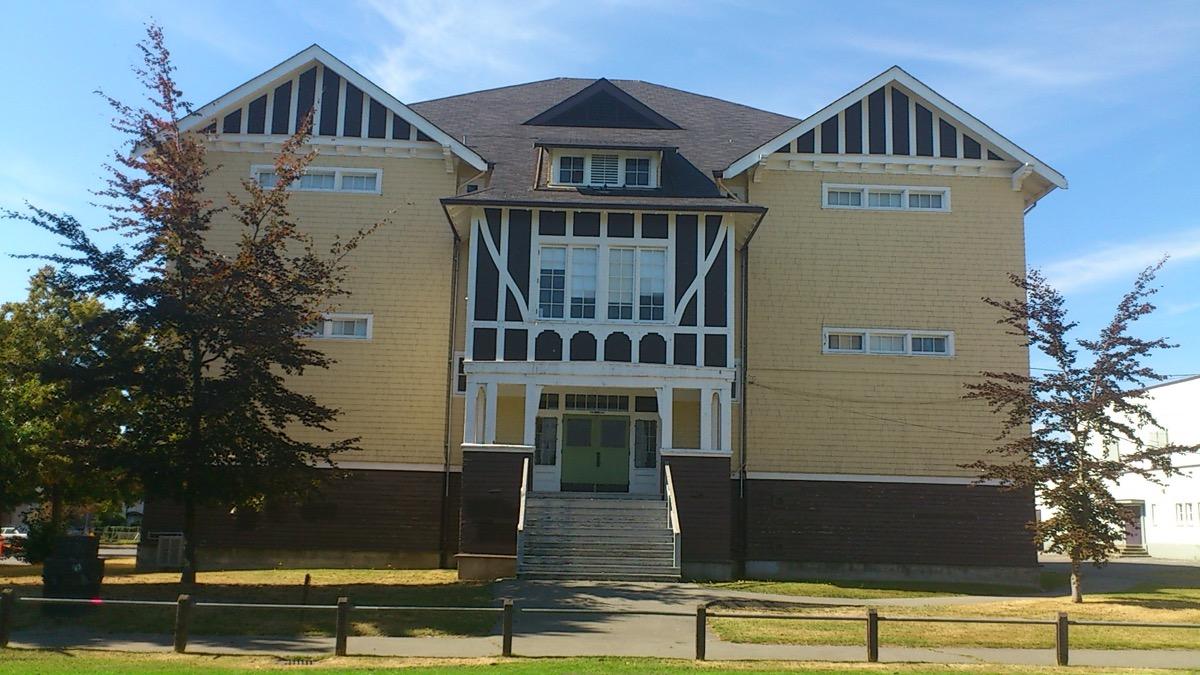
A long low school building with a lawn in front
John Oliver Secondary School on East 41st Avenue, Vancouver, September 2012. sageb1 · CC BY-SA 3.0

On screen

Riverdale High

Coarse dotsPhotograph

Panel 1 of 7 is on the press. Turn the dial to close the dots.

The dots are still coarse.

Keep turning to see which real place played Riverdale High.

Sources
Destination Vancouver

Self-guided film tours of Vancouver

Metro Vancouver and the Fraser Valley

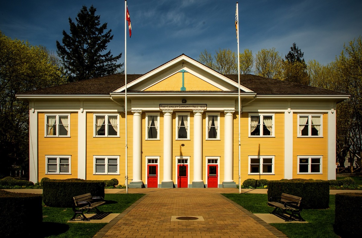
The region’s tourism body lists a Riverdale route: Fort Langley, Mission, John Oliver Secondary and Alouette Lake. Pictured: Fort Langley Community Hall, 2016.

Read the route
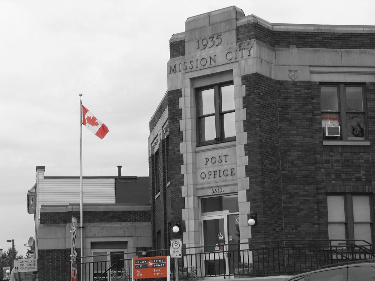
A stone post office building on a town street
The post office in downtown Mission, September 2011. A nearby street view, not the diner. Chris McArdle · CC BY-SA 2.0

Pop’s, twice

Two diners, one counter

Destination Vancouver sends visitors to Mission for Rocko’s Family Diner, also called the infamous Pop’s Chock’lit Shoppe, and says only the pilot was filmed there.

Wikipedia gives the pilot shoot as 14 to 31 March 2016.

A working diner on the Lougheed Highway. Opening hours were not checked. The photograph is a nearby street in downtown Mission.

Sources

The last page

Go and find the panels

All seven places can be seen. The school and the hall are in daily use, so look from the street. The lake is a park with its own access rules, and no river is drawn on the map because the Sweetwater was a lake. Mission and Aldergrove need a car.

Sources

Where it is now

7 places you can visit between South Vancouver and Mission.

Pins mark public places; private homes are named but not pinned.

  • Exact filming spot not recorded. A working school. Look from East 41st Avenue; there is no way in during the school day.

  • Exact filming spot not recorded. A public hall that is also the village library and an event venue. Check its opening hours; Glover Road is a short village street.

  • Exact filming spot not recorded. An operating drive-in. Go for a screening; the pin is the street-address parcel.

  1. A long low school building with a lawn in front
    John Oliver Secondary School on East 41st Avenue, Vancouver, September 2012. sageb1 · CC BY-SA 3.0

    Vancouver and Langley · 530 East 41st Avenue, South Vancouver

    John Oliver Secondary School

    Destination Vancouver says Riverdale High School is actually John Oliver Secondary School.

    A working school. Look from East 41st Avenue; there is no way in during the school day.

    Sources
    Explore this place →
  2. A white wooden hall with a gabled front and a flagpole
    Fort Langley Community Hall on Glover Road, April 2016. Kevin Philipson · CC BY-SA 4.0

    Vancouver and Langley · 9167 Glover Road, Fort Langley

    Fort Langley Community Hall

    Seeing Stars lists the hall at 9167 Glover Road as Riverdale’s town hall, with a sign that later reads Riverdale Community Hall.

    A public hall that is also the village library and an event venue. Check its opening hours; Glover Road is a short village street.

    Sources
    Explore this place →
  3. An empty gravel drive-in lot with rows of white speaker posts and a low concession building
    Twilight Drive-In Theatre, Aldergrove, August 2013. Jeff Hitchcock · CC BY 2.0

    Vancouver and Langley · 3350 260 Street, Aldergrove

    Twilight Drive-In

    Seeing Stars lists the Twilight Drive-In at 3350 260 Street as Jughead’s home, an old drive-in theatre.

    An operating drive-in. Go for a screening; the pin is the street-address parcel.

    Sources
    Explore this place →

Stay

A campsite by the lake.

Three campgrounds in the park round Alouette Lake.

BC Parks

Golden Ears campgrounds

Golden Ears Provincial Park, Maple Ridge

Three large campgrounds in the park around Alouette Lake: Gold Creek, North Beach and Alouette. Book on the BC Parks reservation site. Pictured: the lake at sunrise, 2014.

See the park page

Go there

Follow the route.

A film-route page from the region’s tourism body, and live tour listings.

Destination Vancouver

Self-guided film tours of Vancouver

Metro Vancouver and the Fraser Valley

The region’s tourism body lists a Riverdale route: Fort Langley, Mission, John Oliver Secondary and Alouette Lake. Pictured: Fort Langley Community Hall, 2016.

Read the route

Dates, prices, rooms and stock change: confirm with the provider before you travel or buy. A stay or tour is described as a filming location only where the card says so.

The archive

Every place and moment behind this page, with sources.

7 of 7 places · 7 of 7 stories

12 more places from this productionAlready on the map, each with its source. Not part of the story above.

Map tiles © OpenStreetMap contributors

Keep exploring

Where next?

Every place in Riverdale leads somewhere else.

On the mapExplore the atlasOpen the map
Your atlas

Keep Riverdale with the places you mean to see.

How saving works

Once a week

New places near you, once a week.

One story, one place and one thing to do near you. Free, and you can stop any time.

TermsPrivacyCookiesDelete accountAffiliate disclosureLegal